Transport Functions
Rail
Hub Profile
Place type
Populated place
Region
Ontario
Time zone
America/Toronto
Elevation
213 m
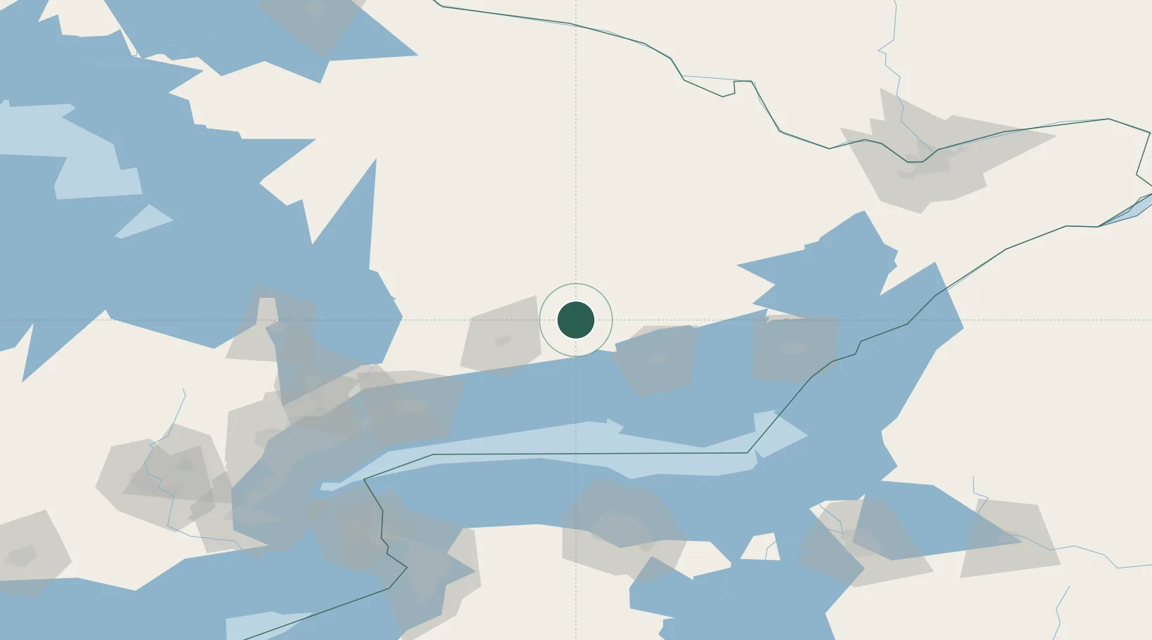
Location
Nearby Logistics Neighbours
Cities
- 1Campbellford17 km
- 2Stirling30 km
- 3Keene30 km
- 4Frankford35 km
- 5Peterborough39 km
Ports
- 1Trenton45 km
- 2Belleville50 km
- 3Cobourg58 km
- 4Port Hope64 km
- 5Picton76 km
Airports
- 1Peterborough Regional Airport44 km
- 2CFB Trenton45 km
- 3Oshawa Executive Airport99 km
- 4Kingston Norman Rogers Airport105 km
- 5Muskoka Airport128 km
Trade Zones
- 1FTZ No. 141 Monroe County128 km
- 2FTZ No. 090 Onondaga153 km
- 3FTZ No. 034 Niagara County158 km
- 4FTZ No. 109 Watertown166 km
- 5Niagara Foreign Trade Zone176 km
DatabookThe Record of Consolidated Knowledge
Canada beyond logistics?