Transport Functions
Port
Road
Hub Profile
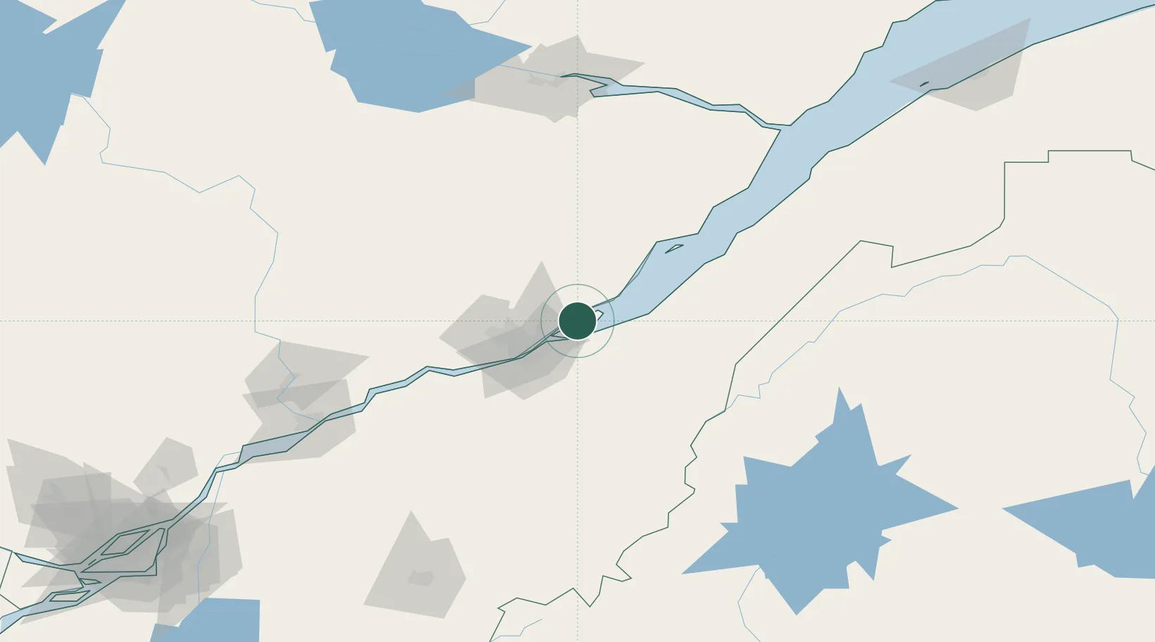
Place type
Populated place
Region
Quebec
Time zone
America/Toronto
Elevation
30 m
Location
Nearby Logistics Neighbours
Cities
- 1Château-Richer4 km
- 2Grosse Isle24 km
- 3Lévis24 km
- 4Saint-Frédéric26 km
- 5Vanier28 km
Ports
- 1Quebec25 km
- 2Port De Becancour125 km
- 3Trois Rivieres139 km
- 4Riviere Du Loup146 km
- 5La Baie (Port Alfred)152 km
Airports
- 1Quebec Jean Lesage International Airport38 km
- 2Charlevoix Airport90 km
- 3Saint-Georges Airport99 km
- 4Rivière-du-Loup Airport137 km
- 5Trois-Rivières Airport148 km
Trade Zones
- 1Québec City FTZ27 km
- 2FTZ No. 179 Madawaska202 km
- 3Greater Montreal Free Zone Center257 km
- 4FTZ No. 186 Waterville287 km
- 5FTZ No. 058 Bangor292 km
DatabookThe Record of Consolidated Knowledge
Canada beyond logistics?