Transport Functions
Multimodal
Hub Profile
Place type
Populated place
Region
Manitoba
Time zone
America/Winnipeg
Elevation
247 m
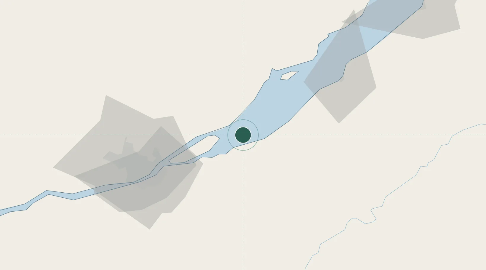
Location
Nearby Logistics Neighbours
Cities
- 1Cap-St-Ignace16 km
- 2Sainte-Famille24 km
- 3L'Islet25 km
- 4Château-Richer28 km
- 5Lévis46 km
Ports
- 1Quebec48 km
- 2Riviere Du Loup124 km
- 3La Baie (Port Alfred)146 km
- 4Port De Becancour149 km
- 5Chicoutimi (Port Saguenay)159 km
Airports
- 1Quebec Jean Lesage International Airport61 km
- 2Charlevoix Airport71 km
- 3Saint-Georges Airport104 km
- 4Rivière-du-Loup Airport115 km
- 5Saguenay-Bagotville Airport146 km
Trade Zones
- 1Québec City FTZ50 km
- 2FTZ No. 179 Madawaska178 km
- 3Greater Montreal Free Zone Center280 km
- 4FTZ No. 058 Bangor286 km
- 5FTZ No. 186 Waterville287 km
DatabookThe Record of Consolidated Knowledge
Canada beyond logistics?