Transport Functions
Port
Road
Hub Profile
Place type
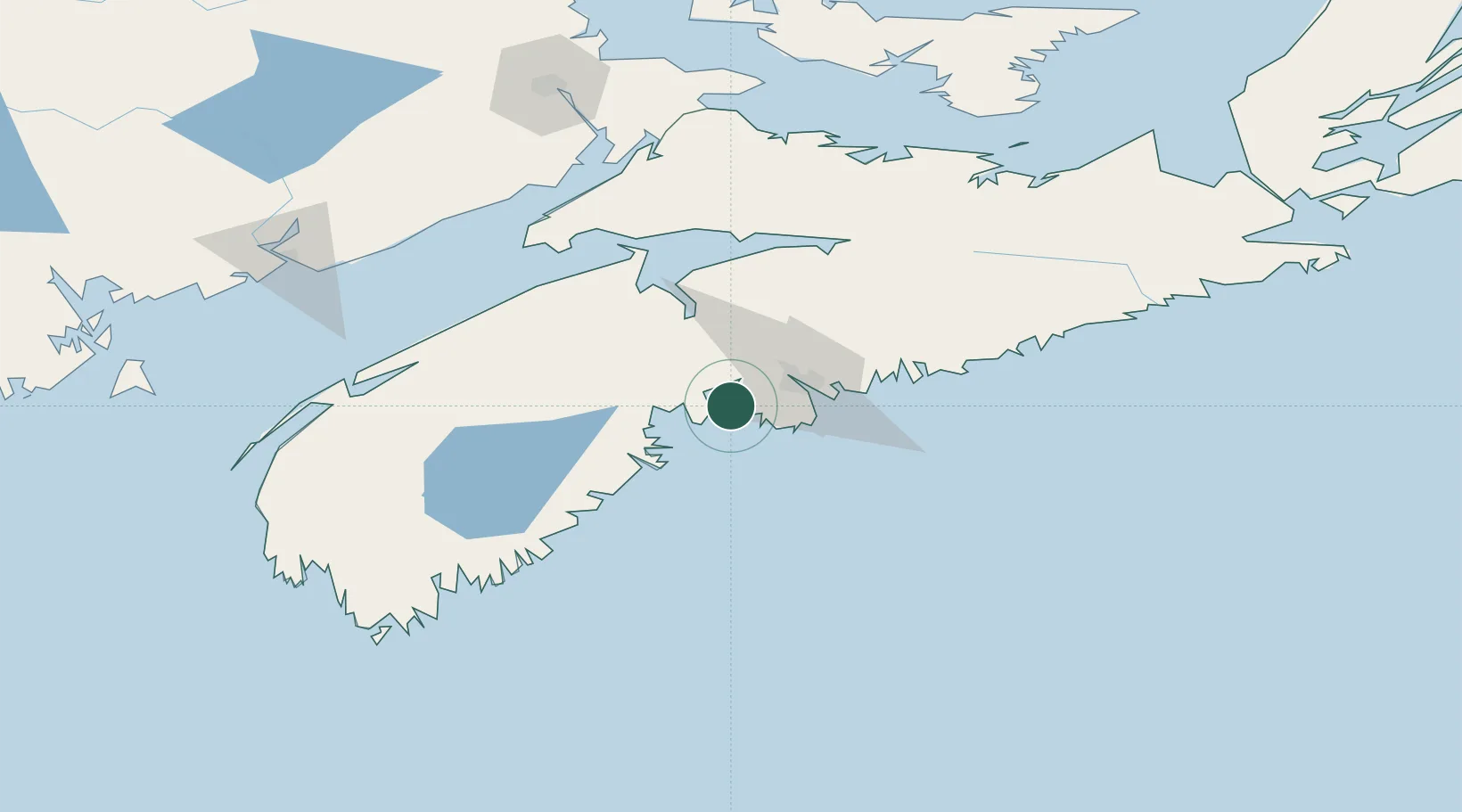
Populated place
Region
Nova Scotia
Time zone
America/Halifax
Elevation
9 m
Location
Nearby Logistics Neighbours
Ports
- 1Halifax29 km
- 2Windsor51 km
- 3Musquodoboit Harbour67 km
- 4Liverpool (Brooklyn)82 km
- 5Digby145 km
Airports
- 1Halifax / Stanfield International Airport48 km
- 2CFB Greenwood91 km
- 3Digby / Annapolis Regional Airport147 km
- 4Fox Harbour Airport150 km
- 5Saint John Airport175 km
Trade Zones
- 1Halifax Gateway29 km
- 2Saint John186 km
- 3Cape Breton Regional Municipality Foreign Trade Zone306 km
- 4FTZ No. 058 Bangor387 km
- 5FTZ No. 179 Madawaska455 km
DatabookThe Record of Consolidated Knowledge
Canada beyond logistics?