Transport Functions
Port
Road
Multimodal
Hub Profile
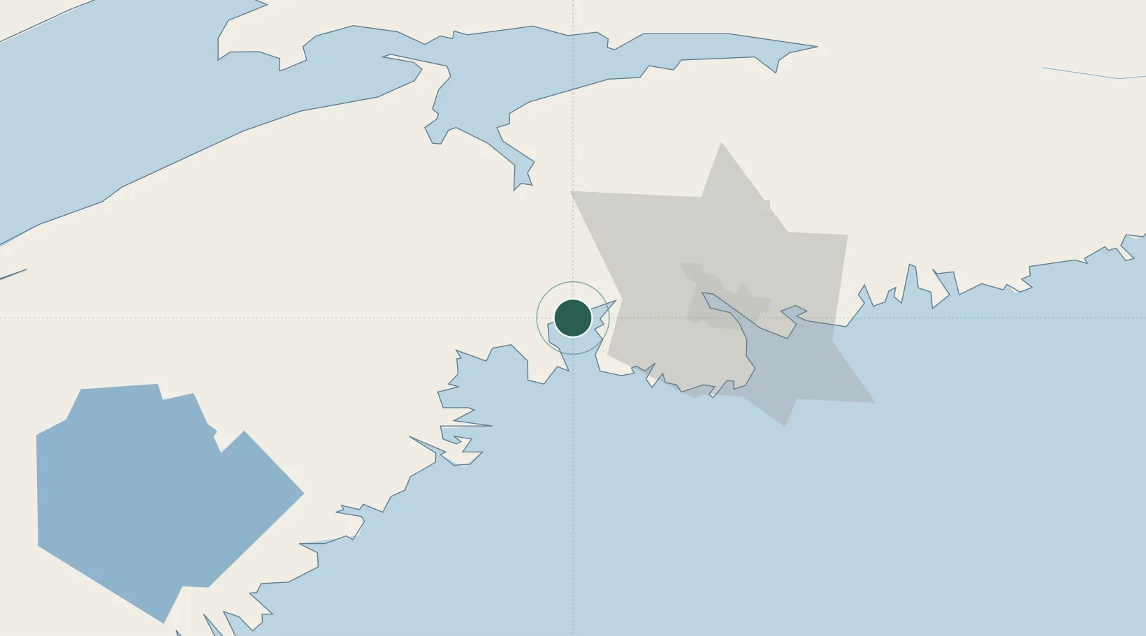
Place type
Populated place
Region
Nova Scotia
Time zone
America/Halifax
Elevation
5 m
Location
Nearby Logistics Neighbours
Cities
- 1Seabright9 km
- 2Hacketts Cove11 km
- 3Bedford26 km
- 4Prospect27 km
- 5Halifax32 km
Ports
- 1Halifax33 km
- 2Windsor41 km
- 3Musquodoboit Harbour69 km
- 4Liverpool (Brooklyn)86 km
- 5Digby140 km
Airports
- 1Halifax / Stanfield International Airport47 km
- 2CFB Greenwood81 km
- 3Digby / Annapolis Regional Airport142 km
- 4Fox Harbour Airport142 km
- 5Saint John Airport166 km
Trade Zones
- 1Halifax Gateway33 km
- 2Saint John177 km
- 3Cape Breton Regional Municipality Foreign Trade Zone305 km
- 4FTZ No. 058 Bangor381 km
- 5FTZ No. 179 Madawaska445 km
DatabookThe Record of Consolidated Knowledge
Canada beyond logistics?