Transport Functions
Port
Road
Hub Profile
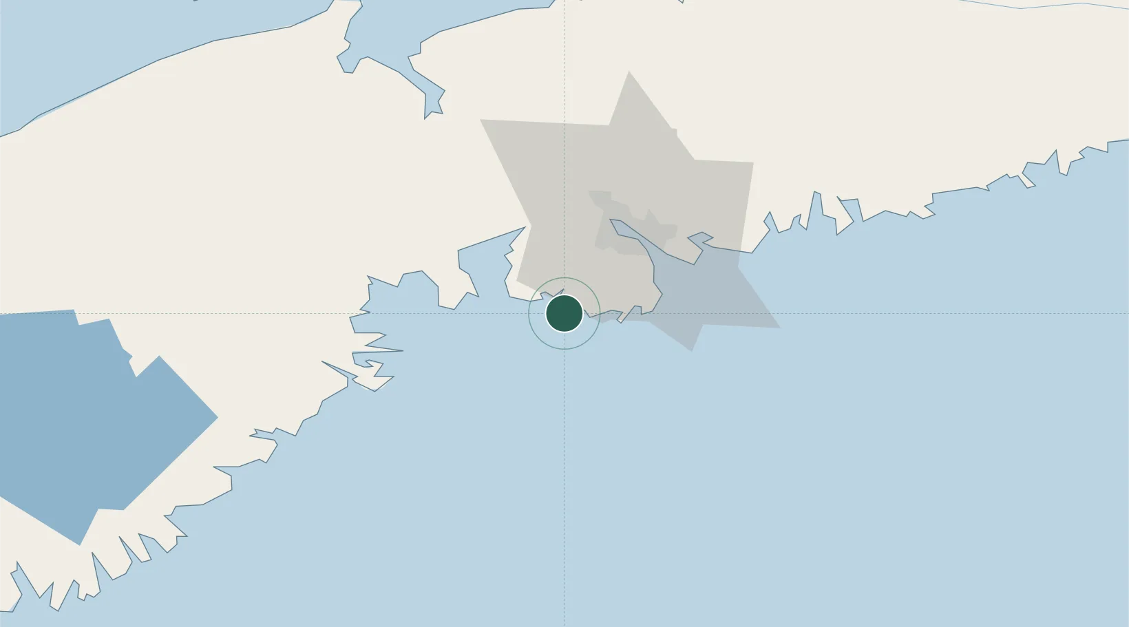
Place type
Populated place
Region
Nova Scotia
Time zone
America/Halifax
Elevation
4 m
Location
Nearby Logistics Neighbours
Cities
- 1Hacketts Cove16 km
- 2Bald Rock17 km
- 3Seabright18 km
- 4Halifax25 km
- 5Cleveland27 km
Ports
- 1Halifax26 km
- 2Musquodoboit Harbour61 km
- 3Windsor66 km
- 4Liverpool (Brooklyn)84 km
- 5Pictou158 km
Airports
- 1Halifax / Stanfield International Airport51 km
- 2CFB Greenwood107 km
- 3Fox Harbour Airport158 km
- 4Digby / Annapolis Regional Airport159 km
- 5Saint John Airport191 km
Trade Zones
- 1Halifax Gateway26 km
- 2Saint John201 km
- 3Cape Breton Regional Municipality Foreign Trade Zone303 km
- 4FTZ No. 058 Bangor400 km
- 5FTZ No. 186 Waterville469 km
DatabookThe Record of Consolidated Knowledge
Canada beyond logistics?