UN/LOCODE hub · Canada
CABDR

Bald Rock

44.4667°, -63.5667°
2
Transport functions

Transport Functions

Port
Road
UN/LOCODE

Hub Profile

Place type
Populated place
GeoNames
Region
Nova Scotia
GeoNames
Time zone
America/Halifax
GeoNames
Elevation
0 m
GeoNames

Location

Location of CABDR
Natural Earth 10m (public domain) · Nova Scotia · CABDR · 44.47, -63.57GoogleOSMYandex

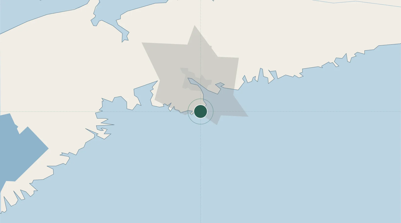
Nearby Logistics Neighbours

Cities
  1. 1Prospect17 km
  2. 2Halifax21 km
  3. 3Dartmouth26 km
  4. 4Minesville29 km
  5. 5Bedford29 km
Nearest neighbours — logibook spatial index (haversine) over the source coordinates
Ports
  1. 1Halifax20 km
  2. 2Musquodoboit Harbour48 km
  3. 3Windsor75 km
  4. 4Liverpool (Brooklyn)99 km
  5. 5Pictou149 km
Nearest neighbours — logibook spatial index (haversine) over the source coordinates
Airports
  1. 1Halifax / Stanfield International Airport46 km
  2. 2CFB Greenwood121 km
  3. 3Fox Harbour Airport156 km
  4. 4Digby / Annapolis Regional Airport176 km
  5. 5Greater Moncton Roméo LeBlanc International Airport203 km
Nearest neighbours — logibook spatial index (haversine) over the source coordinates
Trade Zones
  1. 1Halifax Gateway21 km
  2. 2Saint John217 km
  3. 3Cape Breton Regional Municipality Foreign Trade Zone290 km
  4. 4FTZ No. 058 Bangor417 km
  5. 5FTZ No. 179 Madawaska484 km
Nearest neighbours — logibook spatial index (haversine) over the source coordinates
DatabookThe Record of Consolidated Knowledge
Canada beyond logistics?
Browse databook

All Sources

LocationsUN/LOCODE
UN/LOCODE — free
Portsthe NGA World Port Index
Public domain (US gov)
AirportsOurAirports
Public domain
Trade Zonesthe World Bank SEZ database
CC BY 4.0
Trade ZonesOpen Zone Map
CC BY
← Canada locations