UN/LOCODE hub · Canada
CAHAL
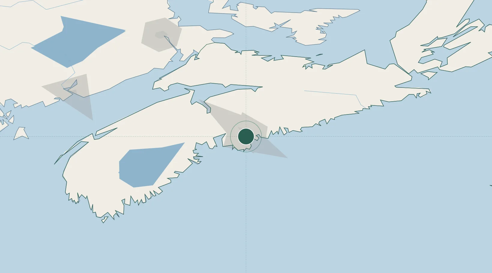
Halifax
44.6541°, -63.5990°
471,559
Population
2
Transport functions
2
Container terminals
Transport Functions
Port
Airport
Hub Profile
Place type
Regional capital
Region
Nova Scotia
Population
471,559
Time zone
America/Halifax
Elevation
60 m
Logistics facilities
21
Container terminals
2
Location
Nearby Logistics Neighbours
Cities
- 1Dartmouth6 km
- 2Bedford10 km
- 3Waverley14 km
- 4Fall River18 km
- 5Minesville19 km
Ports
- 1Musquodoboit Harbour38 km
- 2Windsor58 km
- 3Liverpool (Brooklyn)108 km
- 4Pictou132 km
- 5Stormont161 km
Airports
Trade Zones
- 1Halifax Gateway1 km
- 2Saint John206 km
- 3Cape Breton Regional Municipality Foreign Trade Zone279 km
- 4FTZ No. 058 Bangor412 km
- 5FTZ No. 179 Madawaska469 km
DatabookThe Record of Consolidated Knowledge
Canada beyond logistics?