Transport Functions
Port
Multimodal
Hub Profile
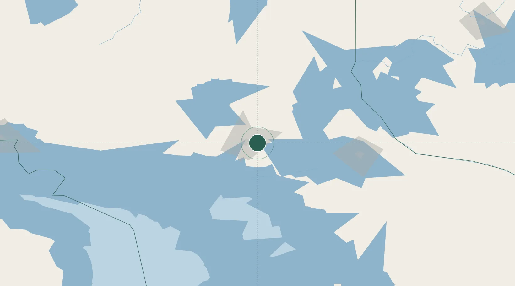
Place type
Populated place
Region
Ontario
Time zone
America/Toronto
Elevation
246 m
Location
Nearby Logistics Neighbours
Cities
- 1Falconbridge10 km
- 2Copper Cliff17 km
- 3Lively24 km
- 4Onaping46 km
- 5Cartier59 km
Ports
- 1Key Harbour67 km
- 2Killarney77 km
- 3Byng Inlet83 km
- 4Little Current100 km
- 5Manitowaning110 km
Airports
- 1Sudbury Airport16 km
- 2Manitoulin East Municipal Airport105 km
- 3North Bay Jack Garland Airport110 km
- 4Elliot Lake Municipal Airport132 km
- 5Gore Bay Manitoulin Airport148 km
Trade Zones
- 1FTZ No. 016 Sault Ste. Marie273 km
- 2FTZ No. 034 Niagara County377 km
- 3Niagara Foreign Trade Zone403 km
- 4FTZ No. 141 Monroe County422 km
- 5FTZ No. 210 St. Clair County427 km
DatabookThe Record of Consolidated Knowledge
Canada beyond logistics?