UN/LOCODE hub · Canada
CANOB

Nobleton

43.9000°, -79.6500°
2
Transport functions

Transport Functions

Road
Multimodal
UN/LOCODE

Hub Profile

Place type
Populated place
GeoNames
Region
Ontario
GeoNames
Time zone
America/Toronto
GeoNames
Elevation
264 m
GeoNames

Location

Location of CANOB
Natural Earth 10m (public domain) · Ontario · CANOB · 43.90, -79.65GoogleOSMYandex

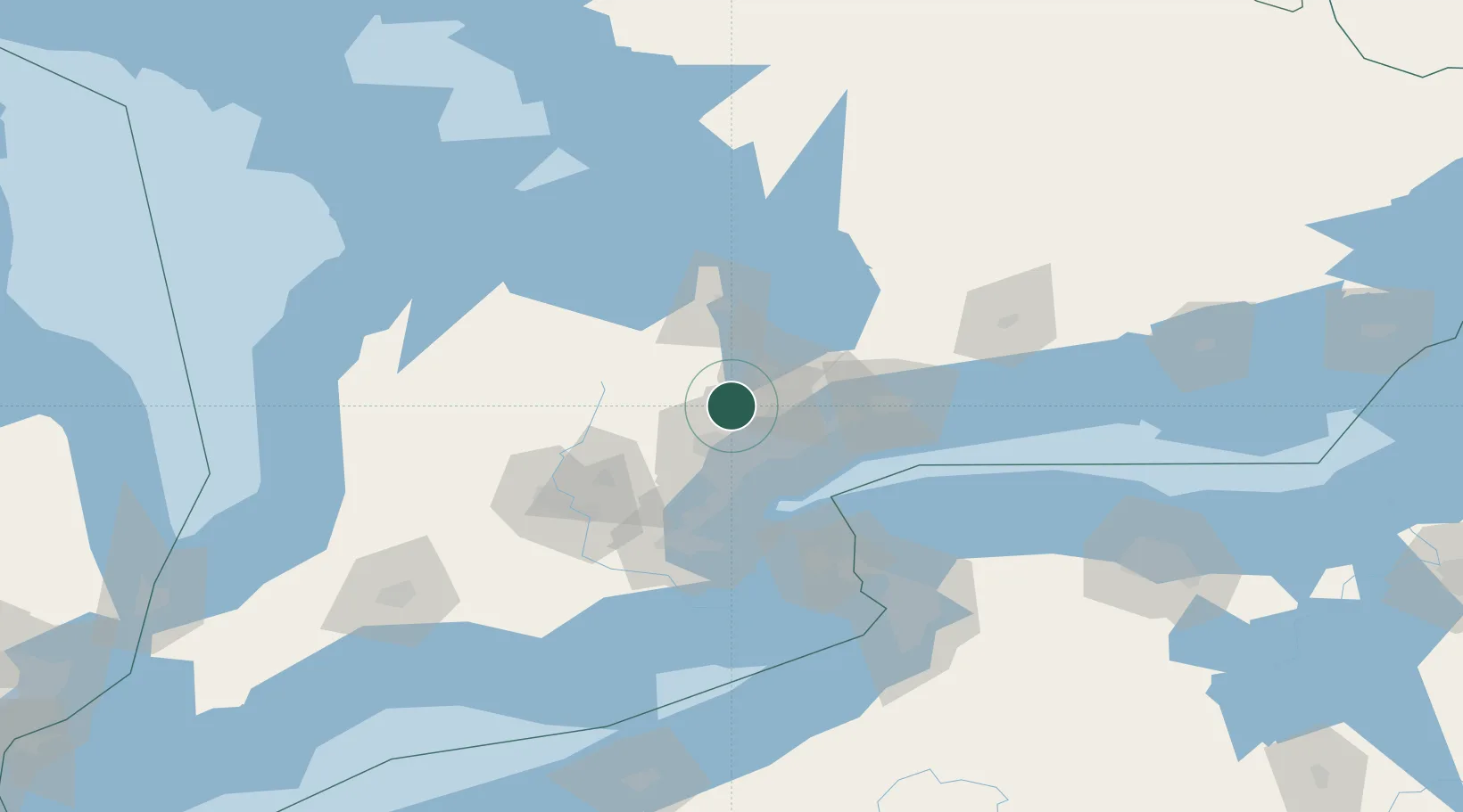
Nearby Logistics Neighbours

Cities
  1. 1Kleinburg7 km
  2. 2Vaughan14 km
  3. 3Palgrave16 km
  4. 4Bramalea21 km
  5. 5Gormley22 km
Nearest neighbours — logibook spatial index (haversine) over the source coordinates
Ports
  1. 1Toronto38 km
  2. 2Port Credit39 km
  3. 3Clarkson45 km
  4. 4Oakville52 km
  5. 5Port Whitby58 km
Nearest neighbours — logibook spatial index (haversine) over the source coordinates
Airports
  1. 1Brampton-Caledon Airport24 km
  2. 2Toronto Pearson International Airport25 km
  3. 3Billy Bishop Toronto City Airport37 km
  4. 4Oshawa Executive Airport61 km
  5. 5Barrie-Lake Simcoe Regional Airport66 km
Nearest neighbours — logibook spatial index (haversine) over the source coordinates
Trade Zones
  1. 1FTZ No. 034 Niagara County77 km
  2. 2Niagara Foreign Trade Zone102 km
  3. 3FTZ No. 023 Buffalo130 km
  4. 4FTZ No. 141 Monroe County152 km
  5. 5FTZ No. 247 Erie202 km
Nearest neighbours — logibook spatial index (haversine) over the source coordinates
DatabookThe Record of Consolidated Knowledge
Canada beyond logistics?
Browse databook

All Sources

LocationsUN/LOCODE
UN/LOCODE — free
Portsthe NGA World Port Index
Public domain (US gov)
AirportsOurAirports
Public domain
Trade Zonesthe World Bank SEZ database
CC BY 4.0
Trade ZonesOpen Zone Map
CC BY
← Canada locations