Medium airport · Canada
Barrie-Lake Simcoe Regional AirportCYLS
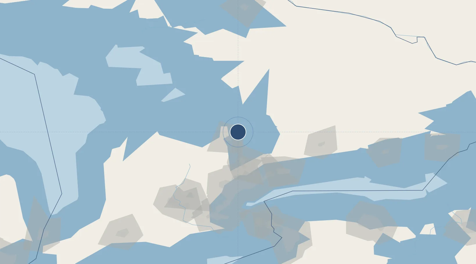
44.4851°, -79.5547°
6,001 ft
Longest runway
1
Runways
972 ft
Elevation
Runway & Layout

Radio Frequencies
AWOS
122.975 MHz
CNTR
124.025 MHz
TORONTO CNTR
UNIC
122.7 MHz
ATF/UNICOM
Runways · 1
| Runway | Dimensions | Surface | True heading | Lit |
|---|---|---|---|---|
| 10/28 | 6,001 × 148ft | Asphalt | 089° | ✓ |
Airport Specifications
IATA code
YLK
ICAO code
CYLS
Airport class
Medium airport
Scheduled service
Yes
Runway surface
Asphalt
Served city
Barrie
Location
Nearby Logistics Neighbours
Airports
- 1Huronia Airport37 km
- 2Muskoka Airport58 km
- 3Oshawa Executive Airport82 km
- 4Brampton-Caledon Airport85 km
- 5Toronto Pearson International Airport90 km
Cities
- 1Midhurst15 km
- 2Elmvale25 km
- 3Keswick29 km
- 4Victoria Harbour34 km
- 5East Gwillimbury34 km
Ports
- 1Midland41 km
- 2Penetanguishene43 km
- 3Collingwood54 km
- 4Thornbury72 km
- 5Meaford84 km
Trade Zones
- 1FTZ No. 034 Niagara County134 km
- 2Niagara Foreign Trade Zone160 km
- 3FTZ No. 141 Monroe County185 km
- 4FTZ No. 023 Buffalo187 km
- 5FTZ No. 289 Ontario County246 km
DatabookThe Record of Consolidated Knowledge
Canada beyond logistics?