Transport Functions
Rail
Road
Multimodal
Hub Profile
Place type
Populated place
Region
Ontario
Time zone
America/Toronto
Elevation
295 m
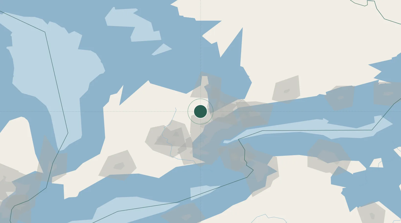
Location
Nearby Logistics Neighbours
Cities
- 1Nobleton16 km
- 2Kleinburg18 km
- 3Belfountain21 km
- 4Vaughan27 km
- 5Bramalea28 km
Ports
- 1Port Credit49 km
- 2Toronto52 km
- 3Clarkson53 km
- 4Oakville59 km
- 5Collingwood69 km
Airports
Trade Zones
- 1FTZ No. 034 Niagara County91 km
- 2Niagara Foreign Trade Zone115 km
- 3FTZ No. 023 Buffalo142 km
- 4FTZ No. 141 Monroe County168 km
- 5FTZ No. 247 Erie205 km
DatabookThe Record of Consolidated Knowledge
Canada beyond logistics?