Transport Functions
Rail
Road
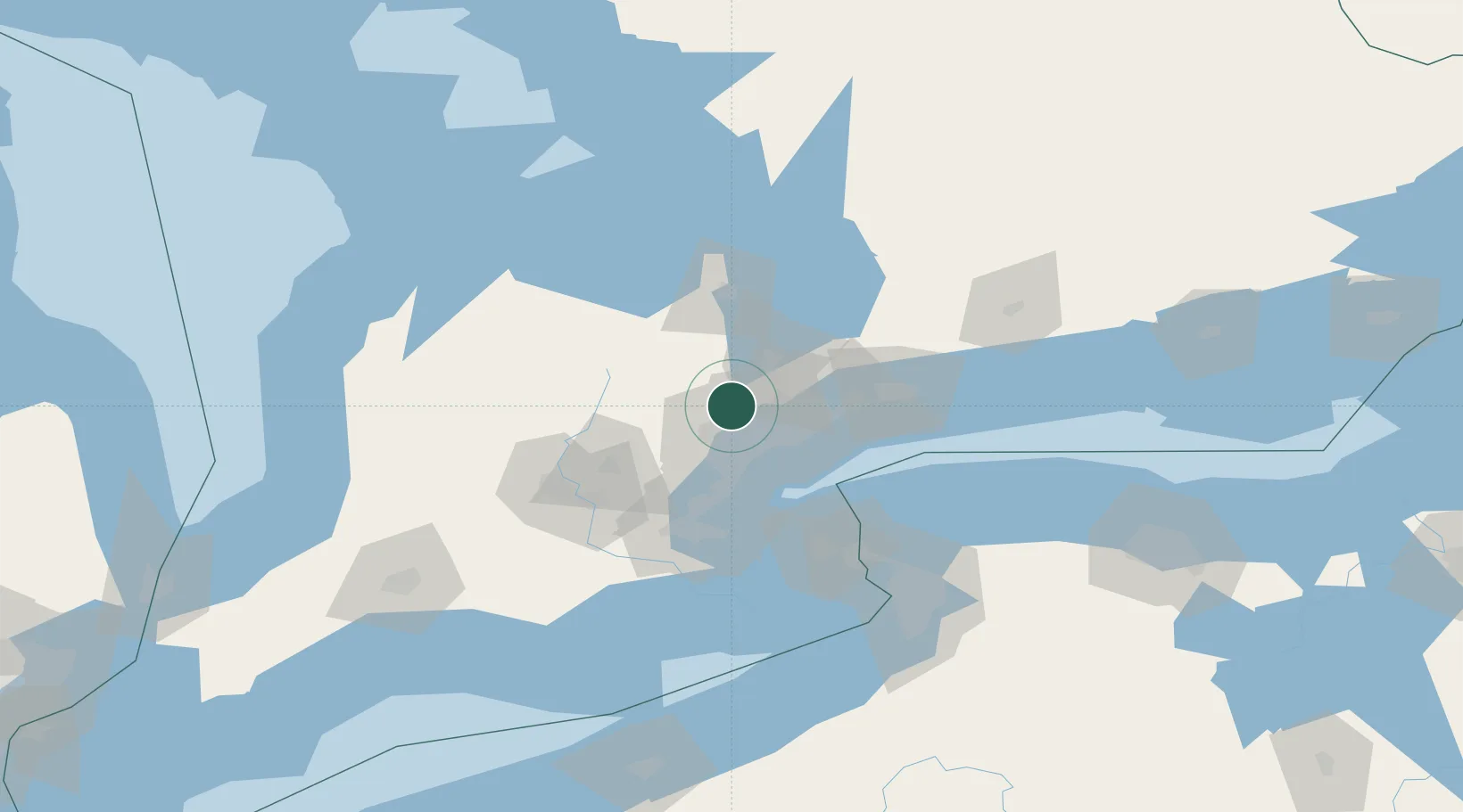
Hub Profile
Place type
Urban district
Region
Ontario
Time zone
America/Toronto
Elevation
221 m
Logistics facilities
2
Location
Nearby Logistics Neighbours
Cities
- 1Nobleton7 km
- 2Vaughan10 km
- 3Bramalea14 km
- 4Pearson International Apt/Toronto16 km
- 5Toronto18 km
Ports
- 1Port Credit33 km
- 2Toronto34 km
- 3Clarkson38 km
- 4Oakville45 km
- 5Port Whitby60 km
Airports
Trade Zones
- 1FTZ No. 034 Niagara County73 km
- 2Niagara Foreign Trade Zone97 km
- 3FTZ No. 023 Buffalo125 km
- 4FTZ No. 141 Monroe County151 km
- 5FTZ No. 247 Erie195 km
DatabookThe Record of Consolidated Knowledge
Canada beyond logistics?