Transport Functions
Rail
Road
Airport
Hub Profile
Place type
Populated place
Region
Ontario
Population
85,807
Time zone
America/Toronto
Elevation
188 m
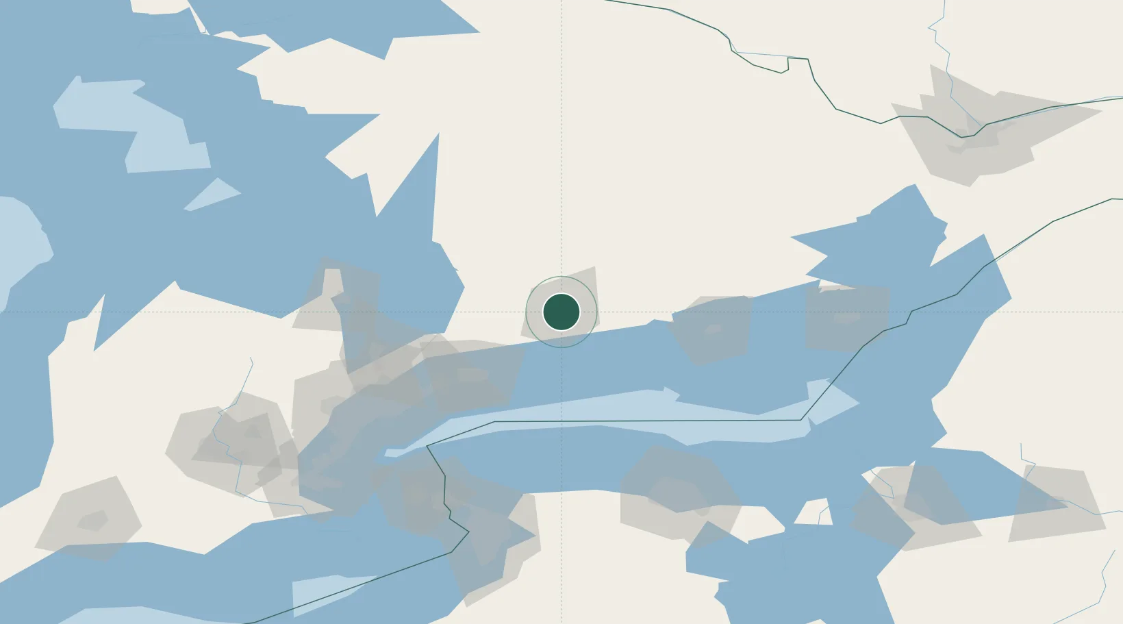
Location
Nearby Logistics Neighbours
Cities
- 1Keene14 km
- 2Millbrook19 km
- 3Harwood22 km
- 4Bobcaygeon31 km
- 5Alnwick/Haldimand34 km
Ports
- 1Port Hope41 km
- 2Cobourg41 km
- 3Oshawa62 km
- 4Trenton65 km
- 5Port Whitby69 km
Airports
- 1Peterborough Regional Airport8 km
- 2Oshawa Executive Airport61 km
- 3CFB Trenton67 km
- 4Barrie-Lake Simcoe Regional Airport99 km
- 5Muskoka Airport108 km
Trade Zones
- 1FTZ No. 141 Monroe County117 km
- 2FTZ No. 034 Niagara County125 km
- 3Niagara Foreign Trade Zone146 km
- 4FTZ No. 023 Buffalo164 km
- 5FTZ No. 090 Onondaga171 km
DatabookThe Record of Consolidated Knowledge
Canada beyond logistics?