UN/LOCODE hub · Canada
CAGWY
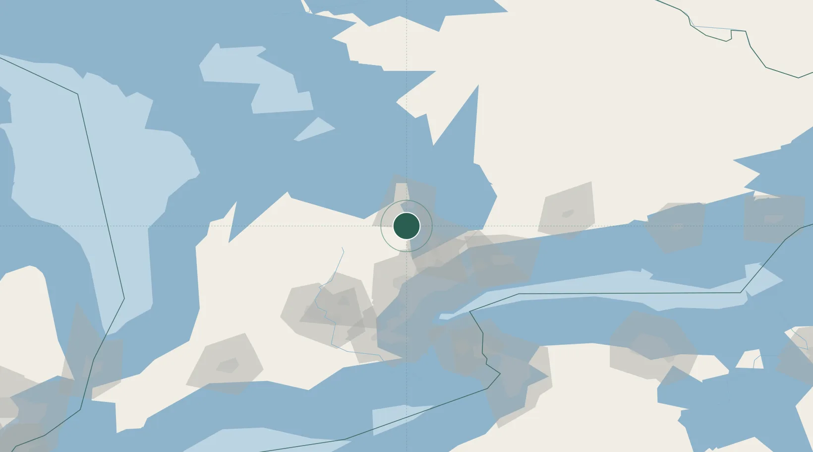
East Gwillimbury
44.2000°, -79.7167°
23,991
Population
1
Transport functions
Transport Functions
Multimodal
Hub Profile
Place type
Populated place
Region
Ontario
Population
23,991
Time zone
America/Toronto
Elevation
271 m
Location
Nearby Logistics Neighbours
Ports
- 1Collingwood53 km
- 2Midland63 km
- 3Penetanguishene65 km
- 4Toronto70 km
- 5Thornbury71 km
Airports
Trade Zones
- 1FTZ No. 034 Niagara County109 km
- 2Niagara Foreign Trade Zone134 km
- 3FTZ No. 023 Buffalo162 km
- 4FTZ No. 141 Monroe County174 km
- 5FTZ No. 289 Ontario County232 km
DatabookThe Record of Consolidated Knowledge
Canada beyond logistics?