Transport Functions
Rail
Road
Multimodal
Hub Profile
Place type
Populated place
Region
Ontario
Time zone
America/Toronto
Elevation
244 m
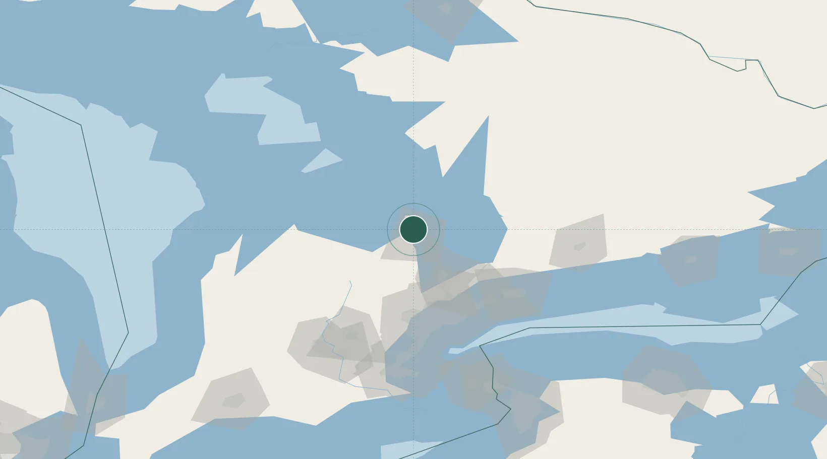
Location
Nearby Logistics Neighbours
Cities
- 1Elmvale17 km
- 2East Gwillimbury28 km
- 3Keswick32 km
- 4Victoria Harbour34 km
- 5Penetanguishene39 km
Ports
- 1Midland36 km
- 2Penetanguishene39 km
- 3Collingwood40 km
- 4Thornbury58 km
- 5Meaford71 km
Airports
Trade Zones
- 1FTZ No. 034 Niagara County135 km
- 2Niagara Foreign Trade Zone161 km
- 3FTZ No. 023 Buffalo188 km
- 4FTZ No. 141 Monroe County192 km
- 5FTZ No. 289 Ontario County252 km
DatabookThe Record of Consolidated Knowledge
Canada beyond logistics?