Transport Functions
Multimodal
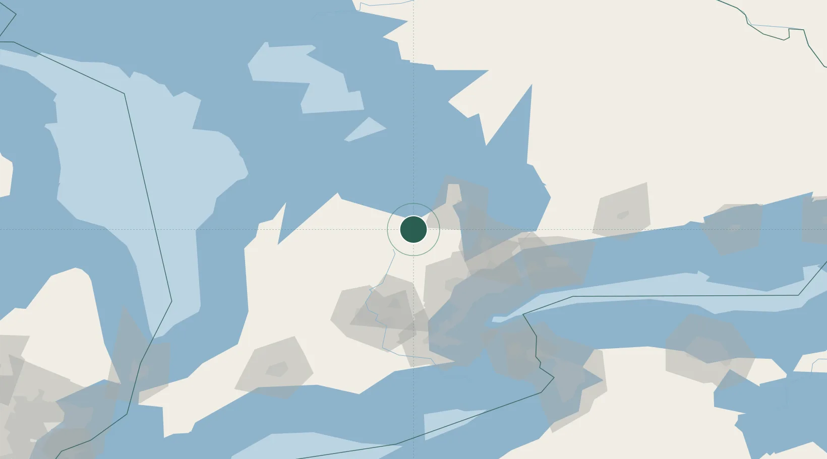
Hub Profile
Place type
Populated place
Region
Ontario
Time zone
America/Toronto
Elevation
356 m
Location
Nearby Logistics Neighbours
Cities
- 1Shelburne15 km
- 2Maxwell26 km
- 3East Gwillimbury31 km
- 4Palgrave34 km
- 5Midhurst42 km
Ports
- 1Collingwood37 km
- 2Thornbury51 km
- 3Meaford62 km
- 4Midland65 km
- 5Penetanguishene66 km
Airports
Trade Zones
- 1FTZ No. 034 Niagara County124 km
- 2Niagara Foreign Trade Zone148 km
- 3FTZ No. 023 Buffalo176 km
- 4FTZ No. 141 Monroe County199 km
- 5FTZ No. 247 Erie230 km
DatabookThe Record of Consolidated Knowledge
Canada beyond logistics?