Transport Functions
Rail
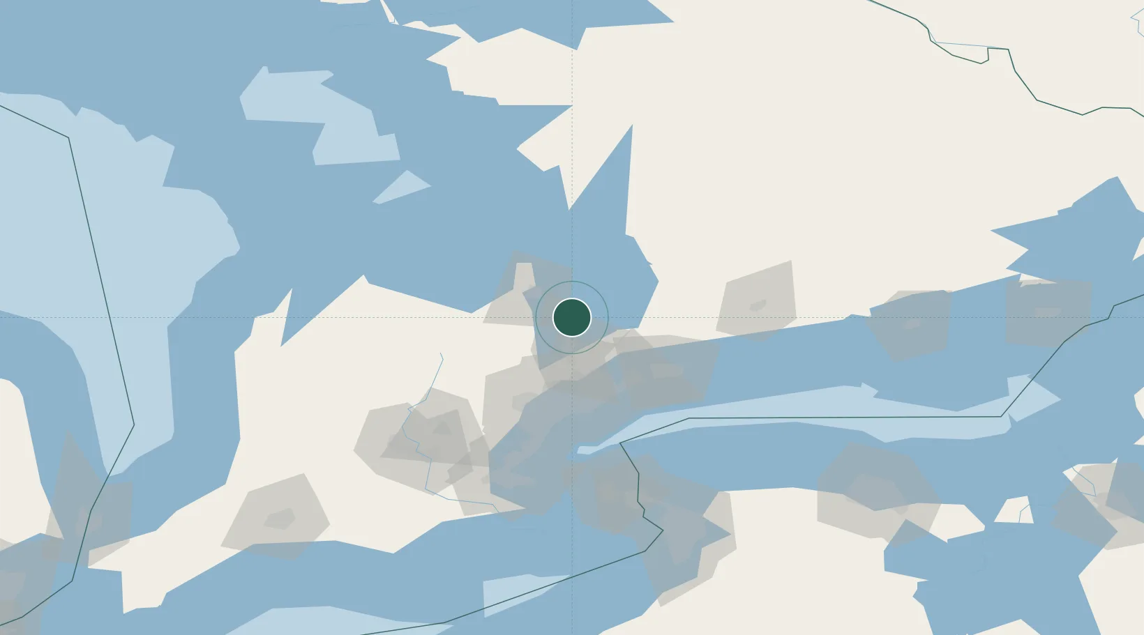
Hub Profile
Place type
Urban district
Region
Ontario
Population
21,000
Time zone
America/Toronto
Elevation
230 m
Location
Nearby Logistics Neighbours
Cities
- 1East Gwillimbury20 km
- 2Uxbridge32 km
- 3Midhurst32 km
- 4Gormley34 km
- 5Cannington37 km
Ports
- 1Port Whitby60 km
- 2Oshawa66 km
- 3Midland68 km
- 4Collingwood68 km
- 5Toronto69 km
Airports
Trade Zones
- 1FTZ No. 034 Niagara County105 km
- 2Niagara Foreign Trade Zone131 km
- 3FTZ No. 023 Buffalo158 km
- 4FTZ No. 141 Monroe County160 km
- 5FTZ No. 289 Ontario County220 km
DatabookThe Record of Consolidated Knowledge
Canada beyond logistics?