Transport Functions
Rail
Road
Hub Profile
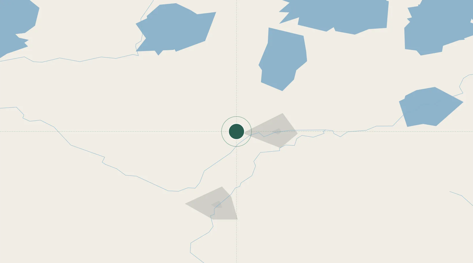
Place type
Populated place
Region
Saskatchewan
Population
1,192
Time zone
America/Regina
Elevation
494 m
Location
Nearby Logistics Neighbours
Ports
- 1Churchill976 km
- 2Mission City1192 km
- 3Port Coquitlam1220 km
- 4Port Moody1225 km
- 5Fraser Mills1227 km
Airports
- 1Prince Albert Glass Field47 km
- 2Saskatoon John G. Diefenbaker International Airport118 km
- 3North Battleford Airport134 km
- 4Nipawin Airport159 km
- 5Meadow Lake Airport173 km
Trade Zones
- 1Global Transportation Hub Authority328 km
- 2Port Alberta - Edmonton FTZ462 km
- 3Calgary Region Inland Port577 km
- 4FTZ No. 187 Toole County659 km
- 5FTZ No. 088 Great Falls729 km
DatabookThe Record of Consolidated Knowledge
Canada beyond logistics?