Transport Functions
Port
Road
Multimodal
Hub Profile
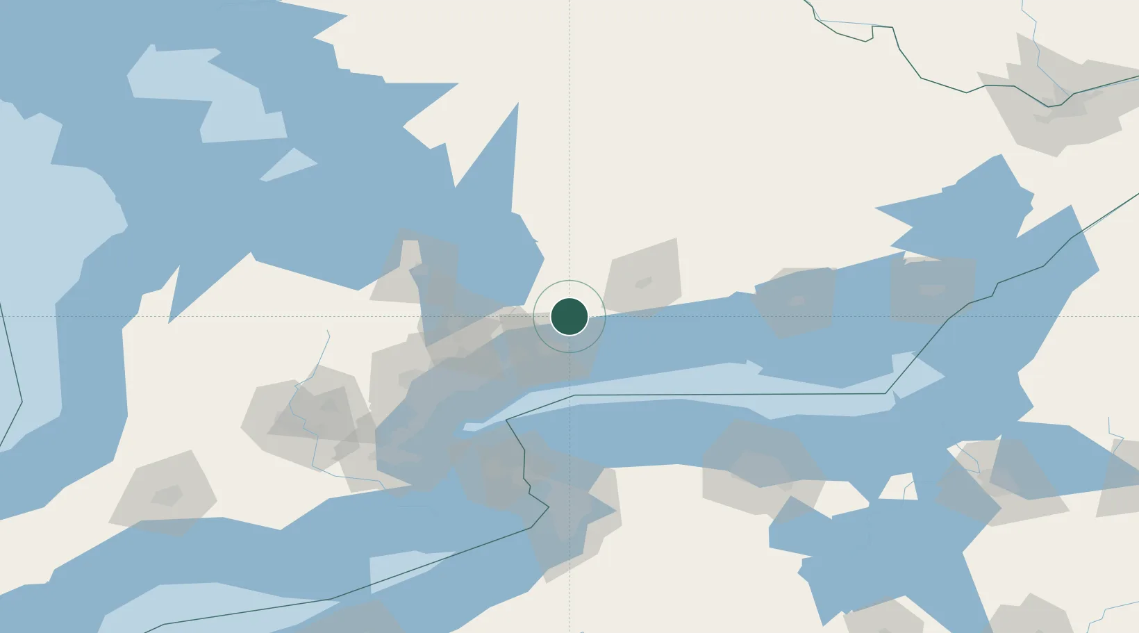
Place type
Populated place
Region
Ontario
Population
781
Time zone
America/Toronto
Elevation
302 m
Location
Nearby Logistics Neighbours
Ports
- 1Oshawa26 km
- 2Port Whitby30 km
- 3Port Hope44 km
- 4Cobourg52 km
- 5Toronto72 km
Airports
Trade Zones
- 1FTZ No. 034 Niagara County90 km
- 2FTZ No. 141 Monroe County112 km
- 3Niagara Foreign Trade Zone114 km
- 4FTZ No. 023 Buffalo136 km
- 5FTZ No. 289 Ontario County174 km
DatabookThe Record of Consolidated Knowledge
Canada beyond logistics?