Transport Functions
Rail
Road
Hub Profile
Place type
Populated place
Region
Ontario
Population
21,176
Time zone
America/Toronto
Elevation
274 m
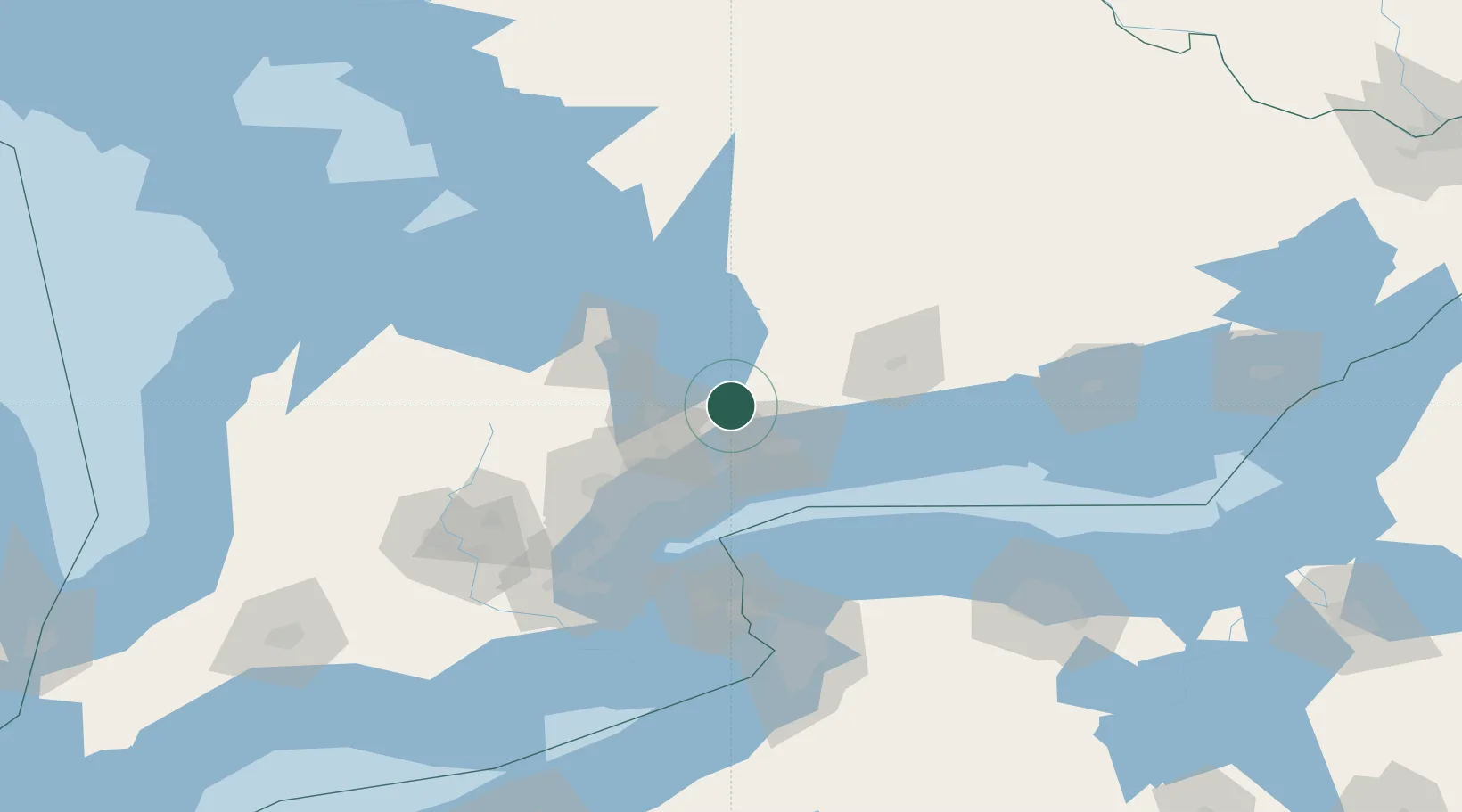
Location
Nearby Logistics Neighbours
Cities
- 1Claremont15 km
- 2Ashburn22 km
- 3Blackstock27 km
- 4Gormley28 km
- 5Cannington29 km
Ports
- 1Port Whitby31 km
- 2Oshawa35 km
- 3Toronto58 km
- 4Port Hope69 km
- 5Port Credit72 km
Airports
Trade Zones
- 1FTZ No. 034 Niagara County86 km
- 2Niagara Foreign Trade Zone112 km
- 3FTZ No. 141 Monroe County130 km
- 4FTZ No. 023 Buffalo138 km
- 5FTZ No. 289 Ontario County191 km
DatabookThe Record of Consolidated Knowledge
Canada beyond logistics?