Transport Functions
Rail
Road
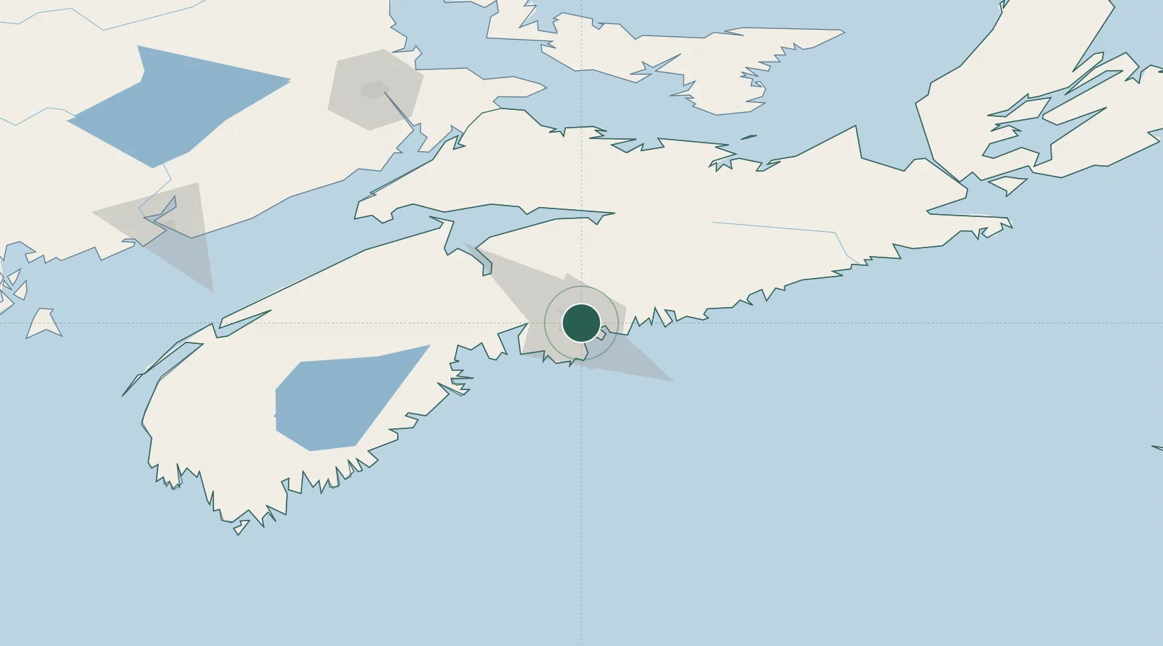
Hub Profile
Place type
Populated place
Region
Nova Scotia
Population
101,343
Time zone
America/Halifax
Elevation
35 m
Logistics facilities
3
Location
Nearby Logistics Neighbours
Cities
- 1Halifax6 km
- 2Bedford10 km
- 3Waverley10 km
- 4Fall River14 km
- 5Minesville16 km
Ports
- 1Halifax6 km
- 2Musquodoboit Harbour34 km
- 3Windsor57 km
- 4Liverpool (Brooklyn)114 km
- 5Pictou126 km
Airports
Trade Zones
- 1Halifax Gateway6 km
- 2Saint John207 km
- 3Cape Breton Regional Municipality Foreign Trade Zone273 km
- 4FTZ No. 058 Bangor415 km
- 5FTZ No. 179 Madawaska468 km
DatabookThe Record of Consolidated Knowledge
Canada beyond logistics?