UN/LOCODE hub · Canada
CAMSV

Minesville

44.6833°, -63.3667°
2
Transport functions

Transport Functions

Port
Road
UN/LOCODE

Hub Profile

Region
NS
GeoNames

Location

Location of CAMSV
Natural Earth 10m (public domain) · NS · CAMSV · 44.68, -63.37GoogleOSMYandex

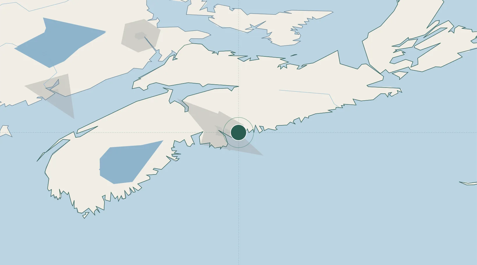
Nearby Logistics Neighbours

Cities
  1. 1Dartmouth16 km
  2. 2Halifax19 km
  3. 3Waverley22 km
  4. 4Musquodoboit Harbour22 km
  5. 5Fall River25 km
Nearest neighbours — logibook spatial index (haversine) over the source coordinates
Ports
  1. 1Halifax18 km
  2. 2Musquodoboit Harbour20 km
  3. 3Windsor71 km
  4. 4Pictou121 km
  5. 5Liverpool (Brooklyn)125 km
Nearest neighbours — logibook spatial index (haversine) over the source coordinates
Airports
  1. 1Halifax / Stanfield International Airport25 km
  2. 2CFB Greenwood127 km
  3. 3Fox Harbour Airport132 km
  4. 4Charlottetown Airport180 km
  5. 5Greater Moncton Roméo LeBlanc International Airport189 km
Nearest neighbours — logibook spatial index (haversine) over the source coordinates
Trade Zones
  1. 1Halifax Gateway18 km
  2. 2Saint John222 km
  3. 3Cape Breton Regional Municipality Foreign Trade Zone263 km
  4. 4FTZ No. 058 Bangor431 km
  5. 5FTZ No. 179 Madawaska481 km
Nearest neighbours — logibook spatial index (haversine) over the source coordinates
DatabookThe Record of Consolidated Knowledge
Canada beyond logistics?
Browse databook

All Sources

LocationsUN/LOCODE
UN/LOCODE — free
Portsthe NGA World Port Index
Public domain (US gov)
AirportsOurAirports
Public domain
Trade Zonesthe World Bank SEZ database
CC BY 4.0
Trade ZonesOpen Zone Map
CC BY
← Canada locations