Transport Functions
Rail
Road
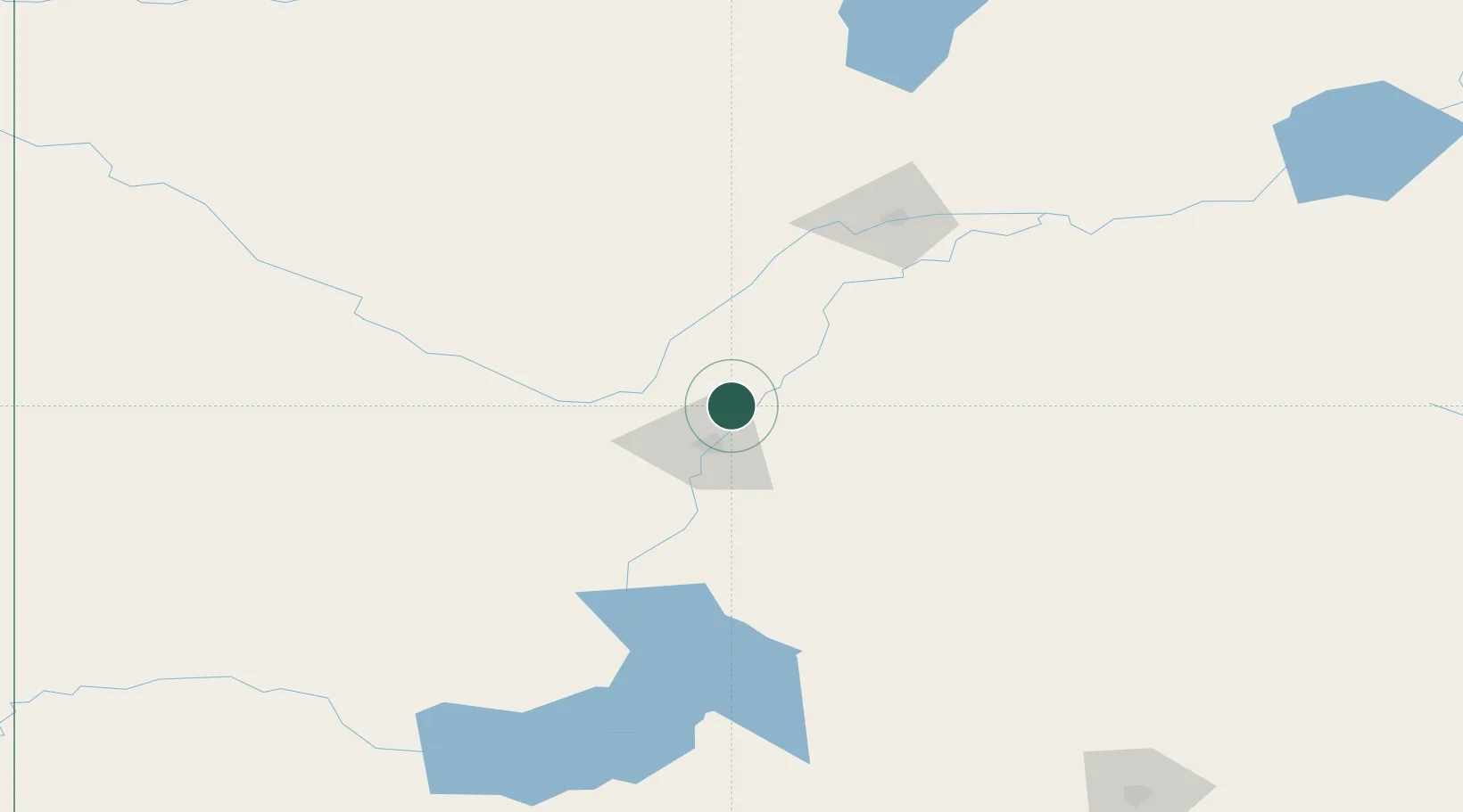
Hub Profile
Place type
Populated place
Region
Saskatchewan
Population
10,961
Time zone
America/Regina
Elevation
507 m
Location
Nearby Logistics Neighbours
Ports
- 1Churchill1056 km
- 2Mission City1157 km
- 3Port Coquitlam1187 km
- 4Bellingham1191 km
- 5Port Moody1192 km
Airports
- 1Saskatoon John G. Diefenbaker International Airport19 km
- 2Prince Albert Glass Field117 km
- 3North Battleford Airport124 km
- 4Kindersley Airport200 km
- 5Nipawin Airport206 km
Trade Zones
- 1Global Transportation Hub Authority243 km
- 2Port Alberta - Edmonton FTZ475 km
- 3Calgary Region Inland Port536 km
- 4FTZ No. 187 Toole County578 km
- 5FTZ No. 088 Great Falls639 km
DatabookThe Record of Consolidated Knowledge
Canada beyond logistics?