Transport Functions
Port
Rail
Road
Hub Profile
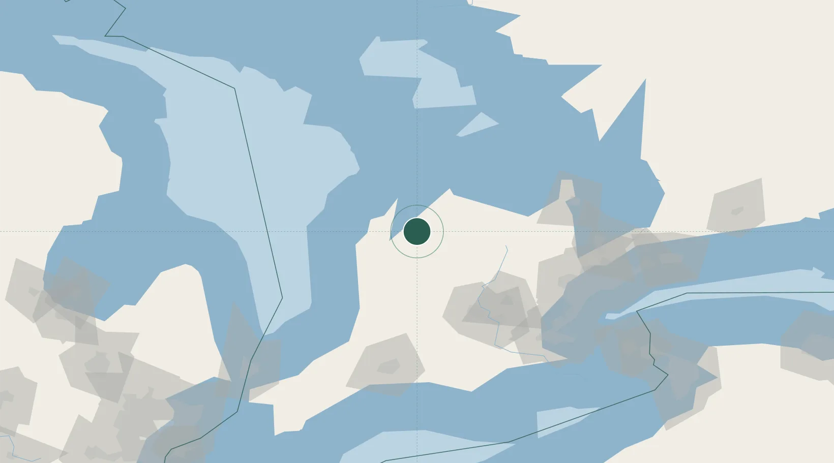
Place type
Populated place
Region
Ontario
Population
7,688
Time zone
America/Toronto
Elevation
277 m
Location
Nearby Logistics Neighbours
Cities
- 1Walkerton11 km
- 2Clifford19 km
- 3Gorrie31 km
- 4Holland Center33 km
- 5Markdale36 km
Ports
- 1Port Elgin45 km
- 2Southampton50 km
- 3Owen Sound51 km
- 4Meaford63 km
- 5Thornbury66 km
Airports
Trade Zones
- 1FTZ No. 034 Niagara County178 km
- 2FTZ No. 210 St. Clair County189 km
- 3Niagara Foreign Trade Zone196 km
- 4FTZ No. 023 Buffalo222 km
- 5FTZ No. 247 Erie236 km
DatabookThe Record of Consolidated Knowledge
Canada beyond logistics?