Transport Functions
Multimodal
Hub Profile
Place type
Populated place
Region
Ontario
Population
4,724
Time zone
America/Toronto
Elevation
253 m
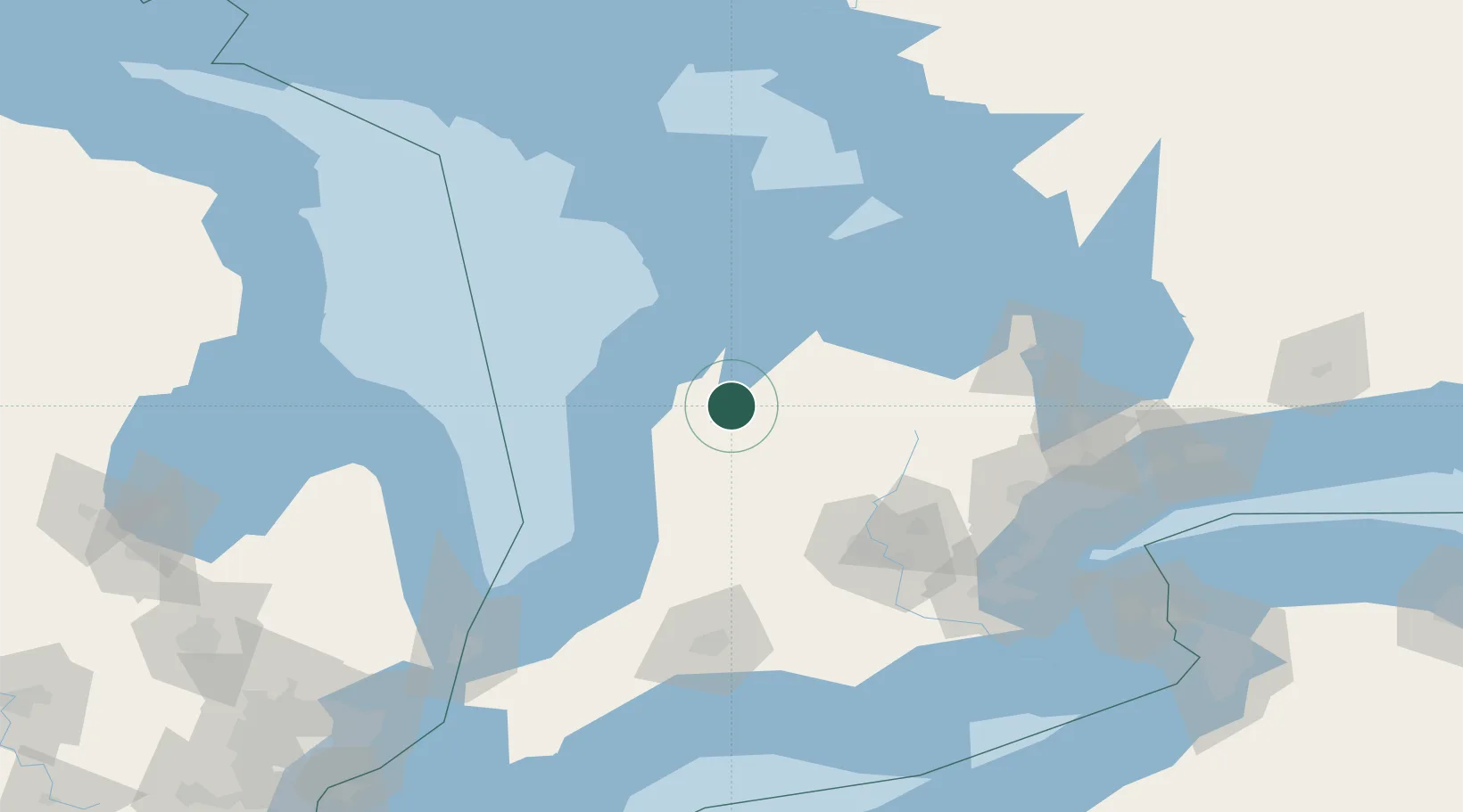
Location
Nearby Logistics Neighbours
Cities
- 1Hanover11 km
- 2Clifford24 km
- 3Gorrie30 km
- 4Holland Center40 km
- 5Palmerston41 km
Ports
- 1Port Elgin39 km
- 2Southampton45 km
- 3Owen Sound53 km
- 4Goderich63 km
- 5Wiarton69 km
Airports
Trade Zones
- 1FTZ No. 210 St. Clair County183 km
- 2FTZ No. 034 Niagara County187 km
- 3Niagara Foreign Trade Zone205 km
- 4FTZ No. 023 Buffalo231 km
- 5FTZ No. 247 Erie240 km
DatabookThe Record of Consolidated Knowledge
Canada beyond logistics?