Transport Functions
Multimodal
Hub Profile
Place type
Populated place
Region
Manama
Time zone
Asia/Bahrain
Elevation
8 m
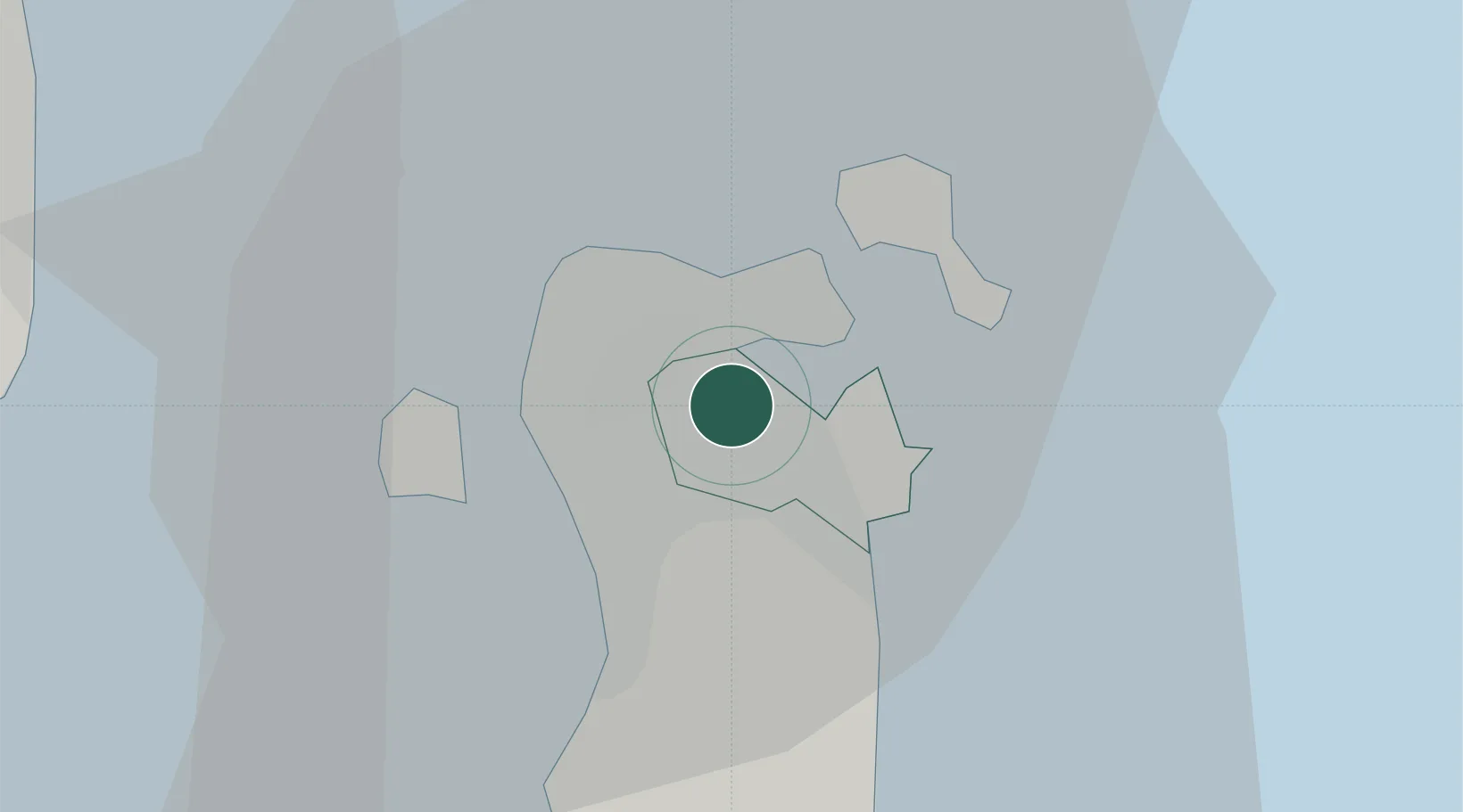
Location
Nearby Logistics Neighbours
Cities
- 1Tubli3 km
- 2Sanad3 km
- 3Umm al Hassam5 km
- 4Sitrah6 km
- 5Al Hajar6 km
Ports
- 1Al Manamah8 km
- 2Mina Salman9 km
- 3Sitrah12 km
- 4Khalifa Bin Salman22 km
- 5Dammam51 km
Airports
- 1Bahrain International Airport14 km
- 2Sheik Isa Air Base28 km
- 3King Abdulaziz Air Base41 km
- 4Ras Tanura Airport81 km
- 5King Fahd International Airport82 km
Trade Zones
DatabookThe Record of Consolidated Knowledge
Bahrain beyond logistics?