Transport Functions
Rail
Road
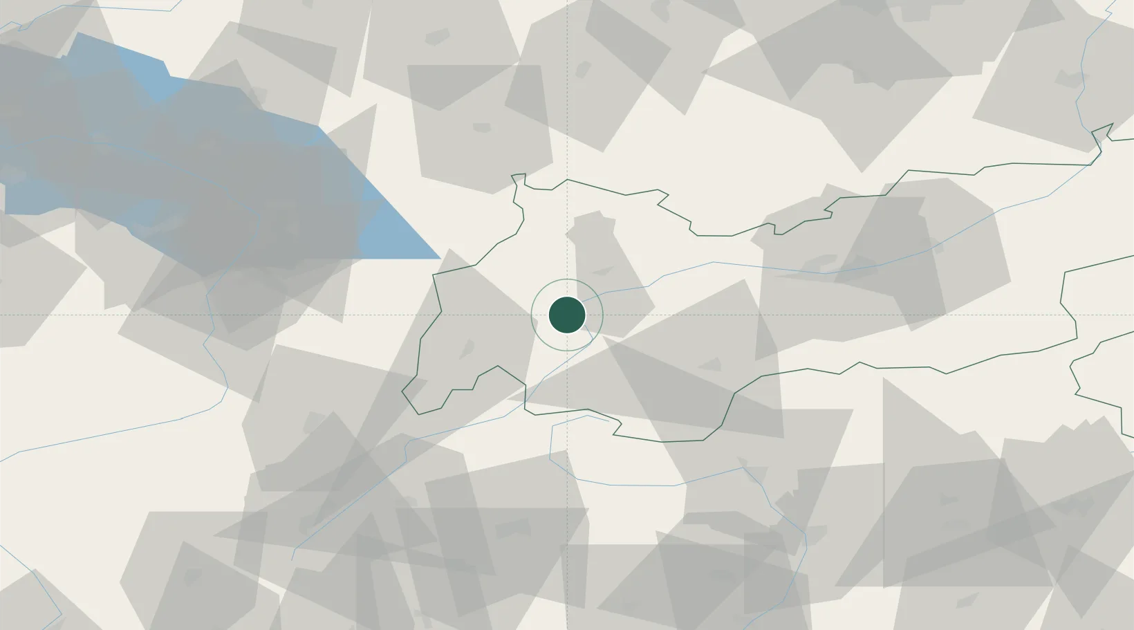
Hub Profile
Place type
District seat
Region
Tyrol
Population
3,148
Time zone
Europe/Vienna
Elevation
770 m
Location
Nearby Logistics Neighbours
Cities
- 1Imst15 km
- 2Lechaschau38 km
- 3Rietz38 km
- 4Scuol45 km
- 5Hohenschwangau46 km
Ports
- 1Porto Di Lido-Venezia240 km
- 2Porto Di Chioggia251 km
- 3Nogaro251 km
- 4Grado263 km
- 5Monfalcone273 km
Airports
- 1Innsbruck Airport59 km
- 2Sankt Gallen Altenrhein Airport86 km
- 3Engadin Airport87 km
- 4Bolzano Airport95 km
- 5Memmingen Allgau Airport97 km
Trade Zones
DatabookThe Record of Consolidated Knowledge
Austria beyond logistics?