Transport Functions
Multimodal
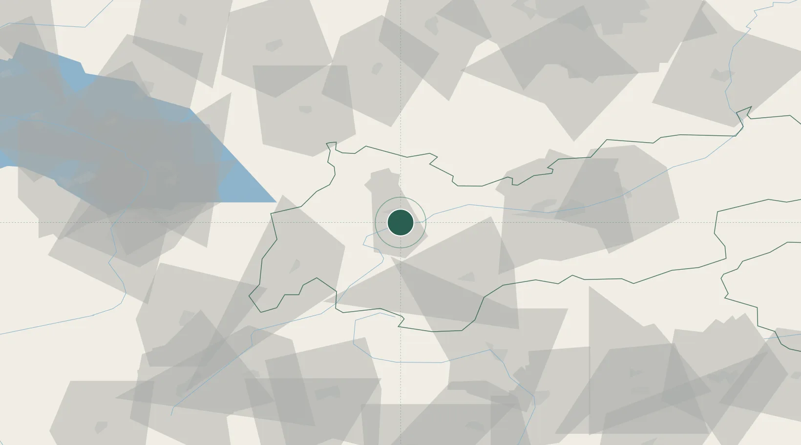
Hub Profile
Place type
District seat
Region
Tyrol
Population
10,504
Time zone
Europe/Vienna
Elevation
823 m
Location
Nearby Logistics Neighbours
Cities
- 1Zams15 km
- 2Rietz25 km
- 3Lechaschau28 km
- 4Grainau35 km
- 5Hohenschwangau35 km
Ports
- 1Porto Di Lido-Venezia241 km
- 2Nogaro248 km
- 3Porto Di Chioggia253 km
- 4Grado260 km
- 5Monfalcone269 km
Airports
- 1Innsbruck Airport46 km
- 2Memmingen Allgau Airport92 km
- 3Sankt Gallen Altenrhein Airport93 km
- 4Bolzano Airport97 km
- 5Engadin Airport101 km
Trade Zones
DatabookThe Record of Consolidated Knowledge
Austria beyond logistics?