Transport Functions
Rail
Road
Hub Profile
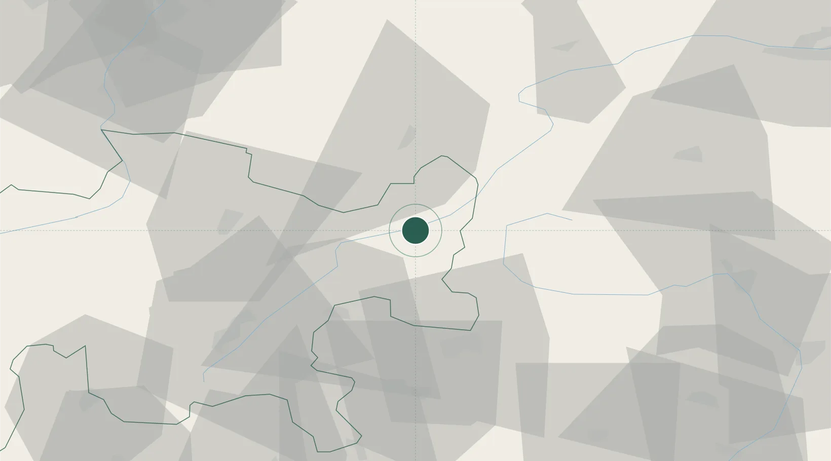
Place type
Populated place
Region
Grisons
Population
2,184
Time zone
Europe/Zurich
Elevation
1,250 m
Location
Nearby Logistics Neighbours
Cities
- 1Livigno35 km
- 2Davos Glaris41 km
- 3Schruns43 km
- 4Zams45 km
- 5Laces48 km
Ports
- 1Porto Di Lido-Venezia225 km
- 2Porto Di Chioggia233 km
- 3Nogaro249 km
- 4Grado261 km
- 5Monfalcone274 km
Airports
- 1Engadin Airport43 km
- 2Bolzano Airport87 km
- 3Innsbruck Airport94 km
- 4Sankt Gallen Altenrhein Airport95 km
- 5Trento-Mattarello Airport107 km
Trade Zones
DatabookThe Record of Consolidated Knowledge
Switzerland beyond logistics?