Transport Functions
Multimodal
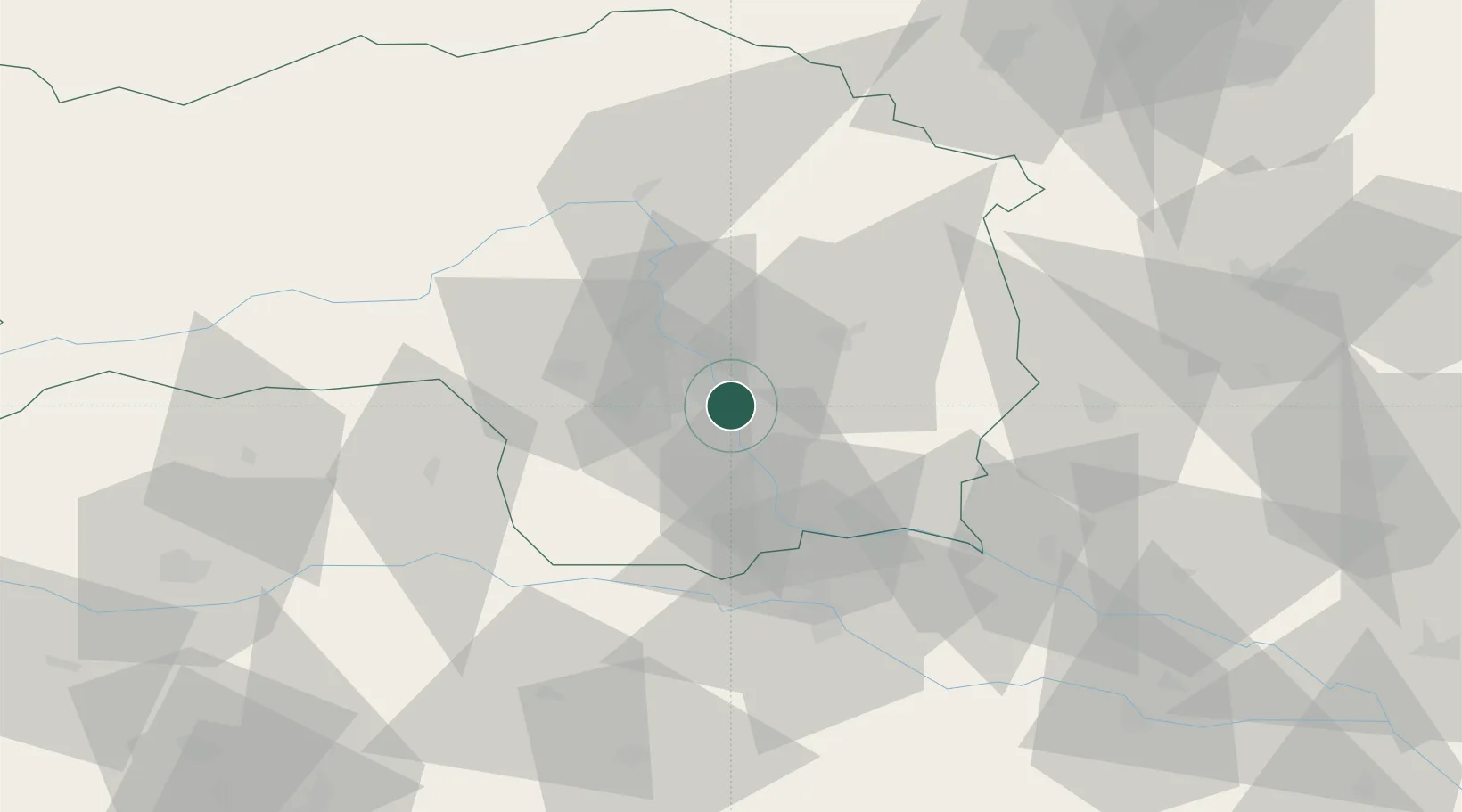
Hub Profile
Place type
District seat
Region
Styria
Population
630
Time zone
Europe/Vienna
Elevation
317 m
Location
Nearby Logistics Neighbours
Cities
- 1Hausmannstatten1 km
- 2Raaba4 km
- 3Feldkirchen bei Graz5 km
- 4Neupirka5 km
- 5Vasoldsberg5 km
Ports
- 1Trieste199 km
- 2Monfalcone200 km
- 3Rijeka Luka201 km
- 4Bakar201 km
- 5Muggia203 km
Airports
- 1Graz Airport3 km
- 2Maribor Edvard Rusjan Airport58 km
- 3Hinterstoisser Air Base61 km
- 4Klagenfurt Airport95 km
- 5Wiener Neustadt West Airport110 km
Trade Zones
- 1Krapina-Zagorje Free Zone97 km
- 2Sjever Free Zone101 km
- 3PJ Free Zone Zagreb135 km
- 4Free Zone Kukuljanovo198 km
- 5Free Port of Trieste199 km
DatabookThe Record of Consolidated Knowledge
Austria beyond logistics?