Transport Functions
Port
Multimodal
Hub Profile
Place type
Populated place
Region
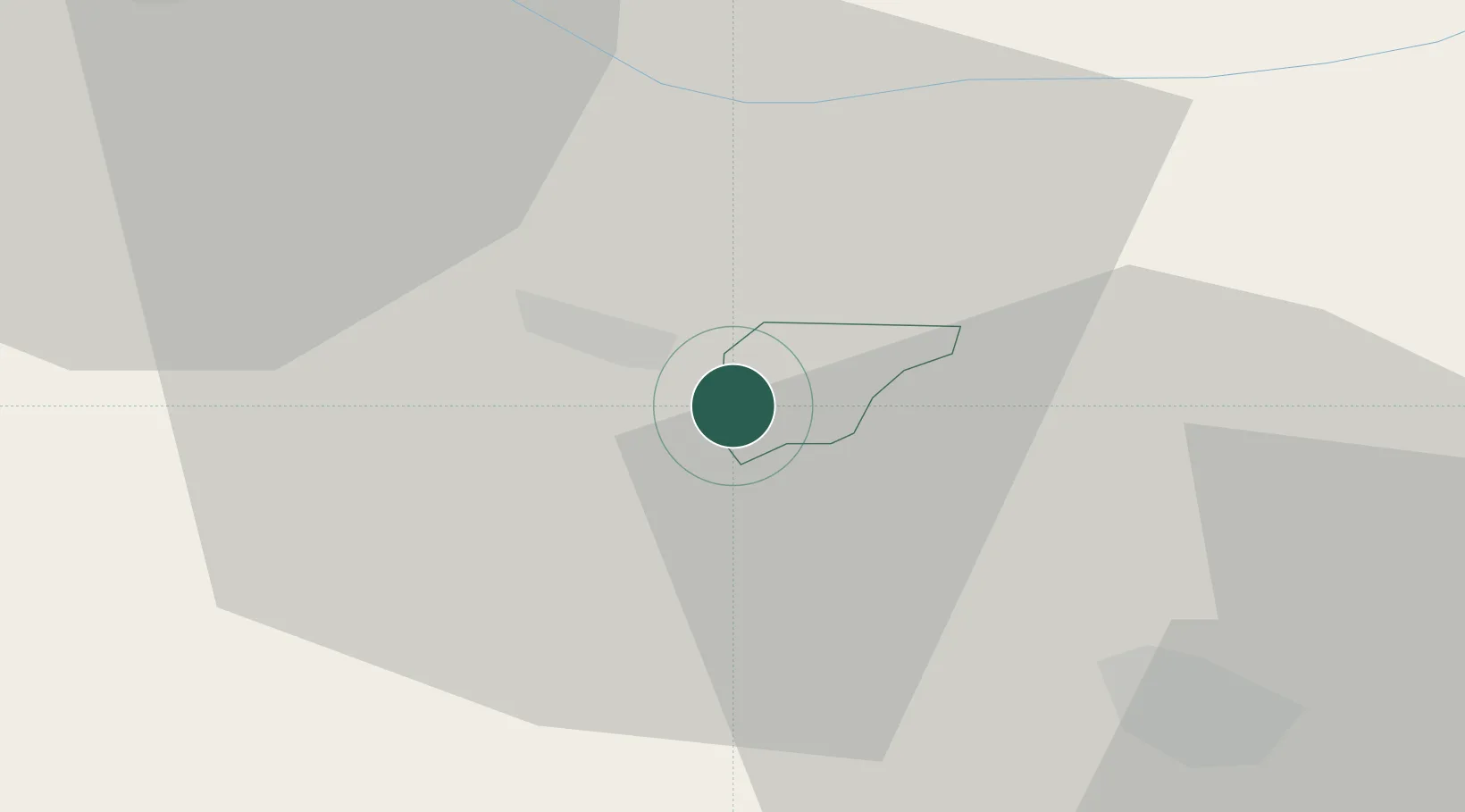
Žirovnica
Population
601
Time zone
Europe/Ljubljana
Elevation
605 m
Location
Nearby Logistics Neighbours
Cities
- 1Jesenice5 km
- 2Krize15 km
- 3Rosenbach17 km
- 4Zgornja Besnica19 km
- 5Naklo19 km
Ports
- 1Monfalcone82 km
- 2Trieste89 km
- 3Muggia93 km
- 4Koper99 km
- 5Grado101 km
Airports
- 1Klagenfurt Airport31 km
- 2Ljubljana Jože Pučnik Airport32 km
- 3Trieste Airport82 km
- 4Udine-Rivolto Air Base96 km
- 5Hinterstoisser Air Base101 km
Trade Zones
- 1Free Port of Trieste89 km
- 2Free Zone Kukuljanovo122 km
- 3Port of Rijeka Free Zone135 km
- 4Krapina-Zagorje Free Zone137 km
- 5PJ Free Zone Zagreb150 km
DatabookThe Record of Consolidated Knowledge
Slovenia beyond logistics?