Transport Functions
Rail
Road
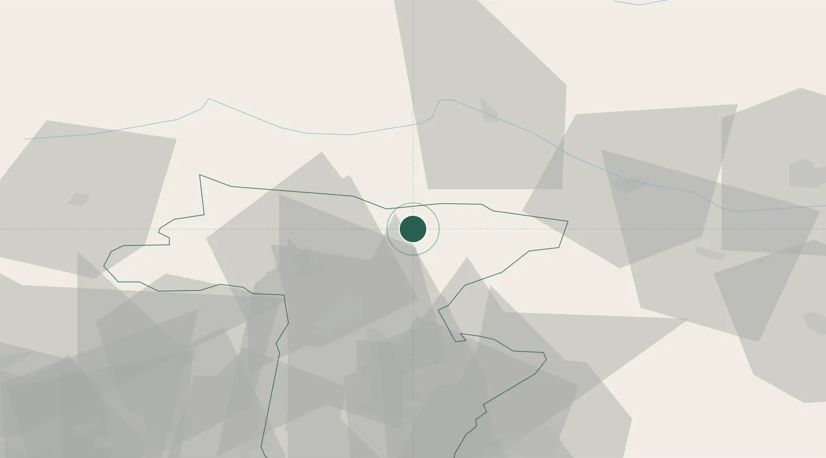
Hub Profile
Place type
District seat
Region
Friuli Venezia Giulia
Population
1,109
Time zone
Europe/Rome
Elevation
568 m
Location
Nearby Logistics Neighbours
Cities
- 1Moggio Udinese14 km
- 2Micheldorf15 km
- 3Amaro22 km
- 4Fusine in Valromana26 km
- 5Villa Santina26 km
Ports
- 1Monfalcone82 km
- 2Nogaro83 km
- 3Grado89 km
- 4Trieste101 km
- 5Muggia106 km
Airports
- 1Udine-Rivolto Air Base61 km
- 2Aviano Air Base75 km
- 3Trieste Airport76 km
- 4Klagenfurt Airport81 km
- 5Ljubljana Jože Pučnik Airport94 km
Trade Zones
- 1Free Port of Trieste101 km
- 2Free Port of Venice141 km
- 3Free Zone Kukuljanovo160 km
- 4Consorzio Zona Industriale e Porto Fluviale di Padova163 km
- 5Port of Rijeka Free Zone163 km
DatabookThe Record of Consolidated Knowledge
Italy beyond logistics?