Transport Functions
Port
Road
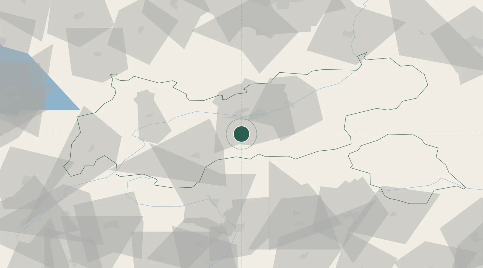
Hub Profile
Place type
District seat
Region
Tyrol
Population
3,038
Time zone
Europe/Vienna
Elevation
916 m
Location
Nearby Logistics Neighbours
Cities
- 1Matrei am Brenner8 km
- 2Sistrans12 km
- 3Kematen in Tirol13 km
- 4Rum17 km
- 5Thaur19 km
Ports
- 1Nogaro208 km
- 2Porto Di Lido-Venezia210 km
- 3Grado220 km
- 4Porto Di Chioggia225 km
- 5Monfalcone227 km
Airports
- 1Innsbruck Airport12 km
- 2Bolzano Airport77 km
- 3Oberpfaffenhofen Airport104 km
- 4Lechfeld Air Base121 km
- 5Memmingen Allgau Airport125 km
Trade Zones
DatabookThe Record of Consolidated Knowledge
Austria beyond logistics?