Transport Functions
Multimodal
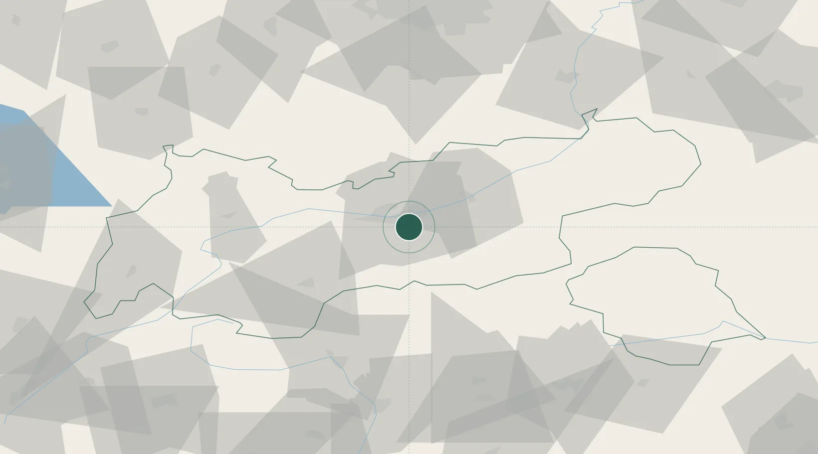
Hub Profile
Place type
District seat
Region
Tyrol
Population
2,255
Time zone
Europe/Vienna
Elevation
988 m
Location
Nearby Logistics Neighbours
Cities
- 1Rum6 km
- 2Thaur8 km
- 3Matrei am Brenner11 km
- 4Fulpmes12 km
- 5Fritzens13 km
Ports
- 1Nogaro210 km
- 2Porto Di Lido-Venezia216 km
- 3Grado222 km
- 4Monfalcone228 km
- 5Porto Di Chioggia232 km
Airports
- 1Innsbruck Airport9 km
- 2Bolzano Airport87 km
- 3Oberpfaffenhofen Airport95 km
- 4Lechfeld Air Base115 km
- 5Altstetten Ultralight Field120 km
Trade Zones
DatabookThe Record of Consolidated Knowledge
Austria beyond logistics?