UN/LOCODE hub · Austria
ATKTT
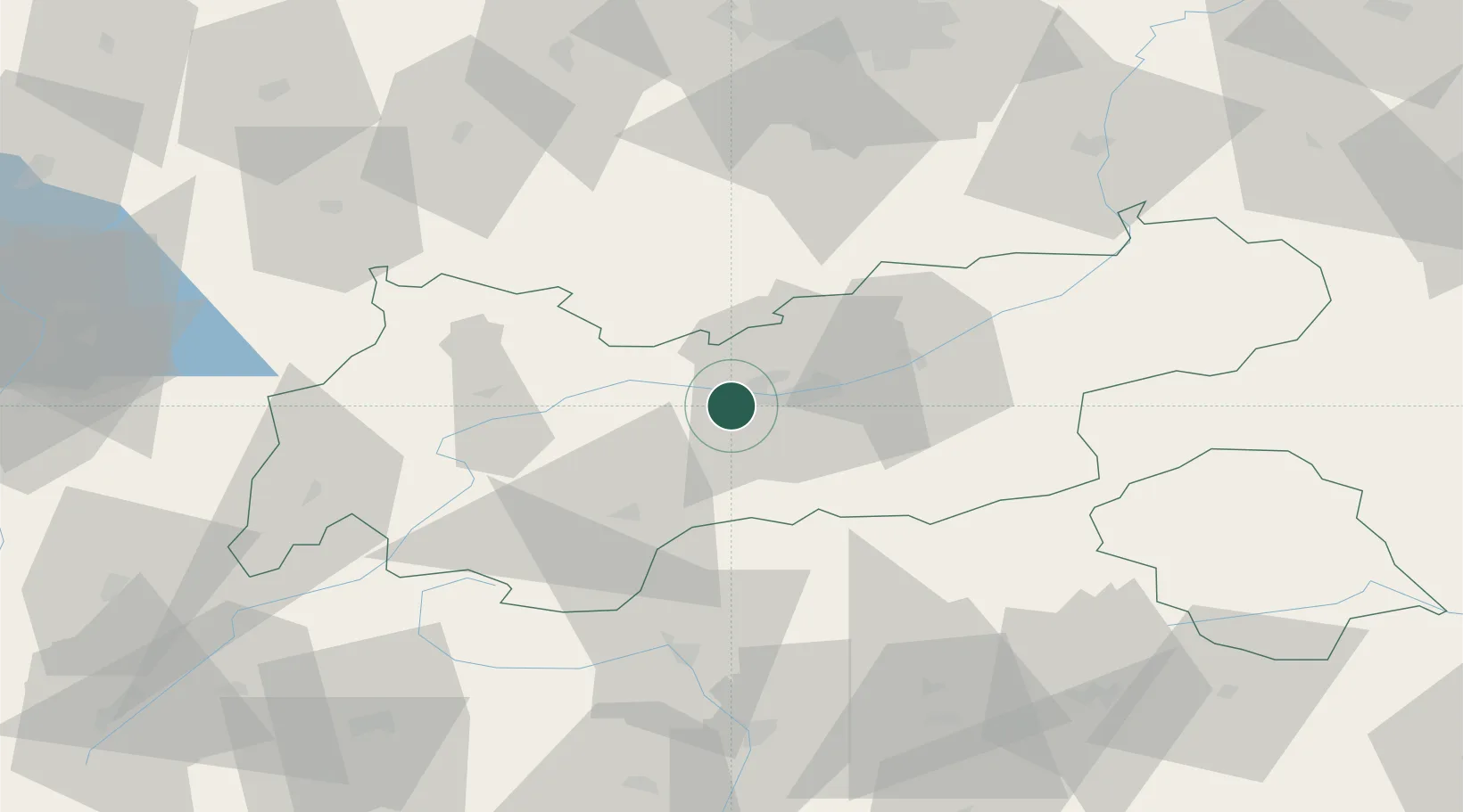
Kematen in Tirol
47.2500°, 11.2667°
2,822
Population
4
Transport functions
Transport Functions
Port
Rail
Road
Multimodal
Hub Profile
Place type
District seat
Region
Tyrol
Population
2,822
Time zone
Europe/Vienna
Elevation
630 m
Location
Nearby Logistics Neighbours
Ports
- 1Nogaro221 km
- 2Porto Di Lido-Venezia223 km
- 3Grado232 km
- 4Porto Di Chioggia238 km
- 5Monfalcone239 km
Airports
- 1Innsbruck Airport6 km
- 2Bolzano Airport88 km
- 3Oberpfaffenhofen Airport93 km
- 4Lechfeld Air Base108 km
- 5Memmingen Allgau Airport113 km
Trade Zones
DatabookThe Record of Consolidated Knowledge
Austria beyond logistics?