Transport Functions
Rail
Road
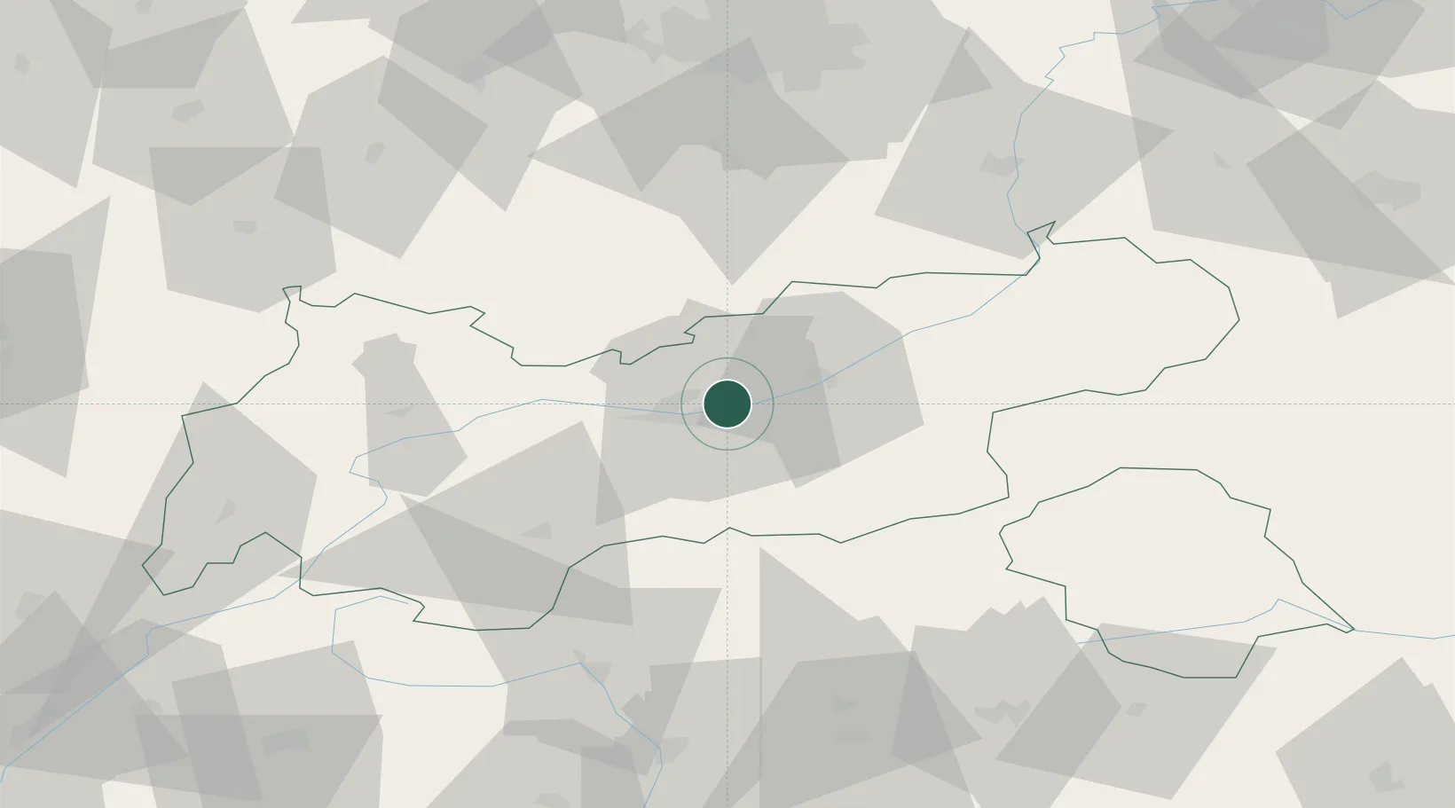
Hub Profile
Place type
District seat
Region
Tyrol
Population
3,979
Time zone
Europe/Vienna
Elevation
633 m
Location
Nearby Logistics Neighbours
Ports
- 1Nogaro215 km
- 2Porto Di Lido-Venezia222 km
- 3Grado227 km
- 4Monfalcone232 km
- 5Porto Di Chioggia239 km
Airports
- 1Innsbruck Airport10 km
- 2Oberpfaffenhofen Airport88 km
- 3Bolzano Airport94 km
- 4Lechfeld Air Base108 km
- 5Altstetten Ultralight Field113 km
Trade Zones
DatabookThe Record of Consolidated Knowledge
Austria beyond logistics?