UN/LOCODE hub · Austria
ATMBR
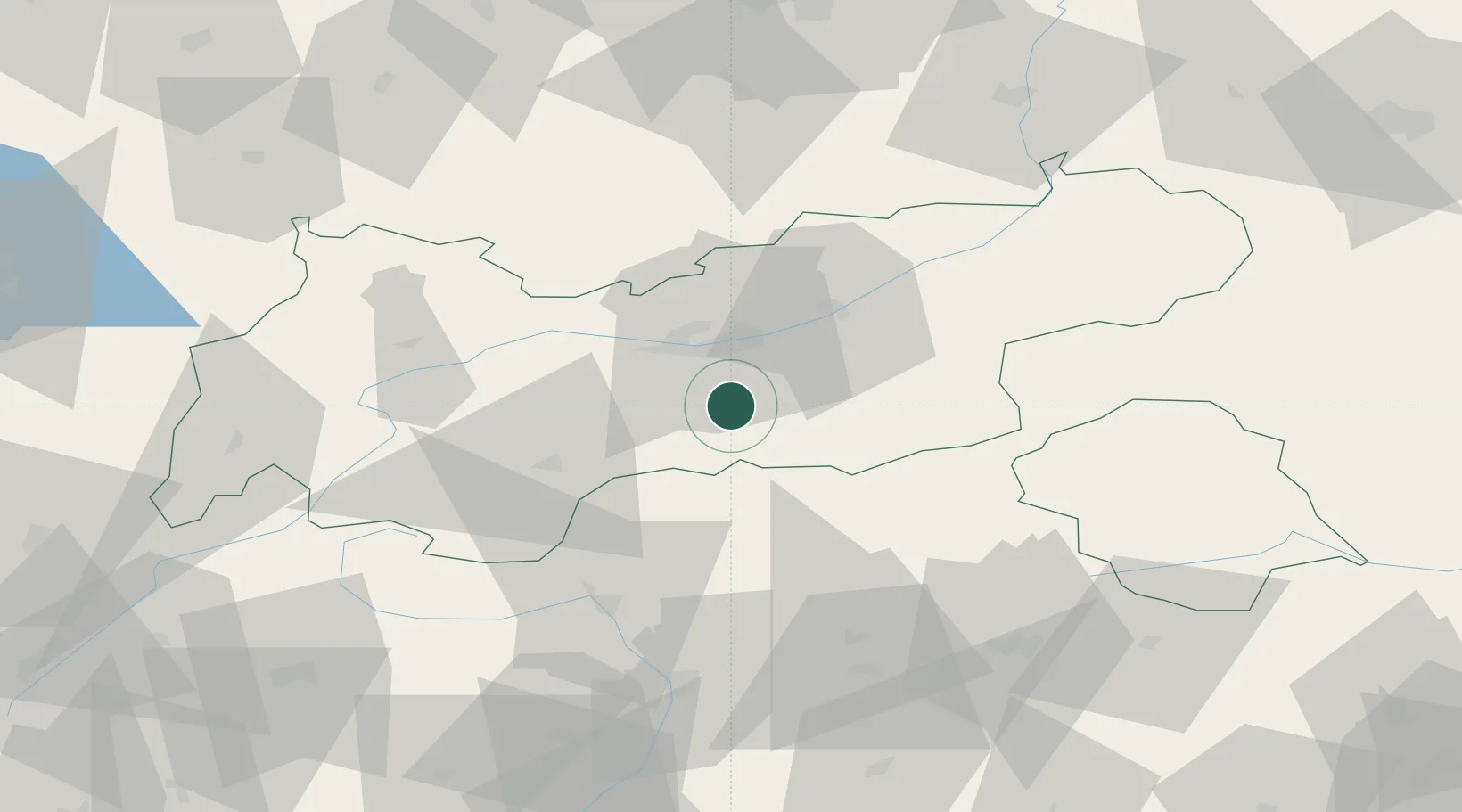
Matrei am Brenner
47.1333°, 11.4500°
959
Population
3
Transport functions
Transport Functions
Rail
Road
Multimodal
Hub Profile
Place type
District seat
Region
Tyrol
Population
959
Time zone
Europe/Vienna
Elevation
994 m
Location
Nearby Logistics Neighbours
Cities
- 1Fulpmes8 km
- 2Sistrans11 km
- 3Rum17 km
- 4Thaur19 km
- 5Kematen in Tirol19 km
Ports
- 1Nogaro202 km
- 2Porto Di Lido-Venezia205 km
- 3Grado214 km
- 4Monfalcone220 km
- 5Porto Di Chioggia221 km
Airports
- 1Innsbruck Airport16 km
- 2Bolzano Airport76 km
- 3Oberpfaffenhofen Airport106 km
- 4Lechfeld Air Base125 km
- 5Trento-Mattarello Airport126 km
Trade Zones
DatabookThe Record of Consolidated Knowledge
Austria beyond logistics?