UN/LOCODE hub · Argentina
ARPMY
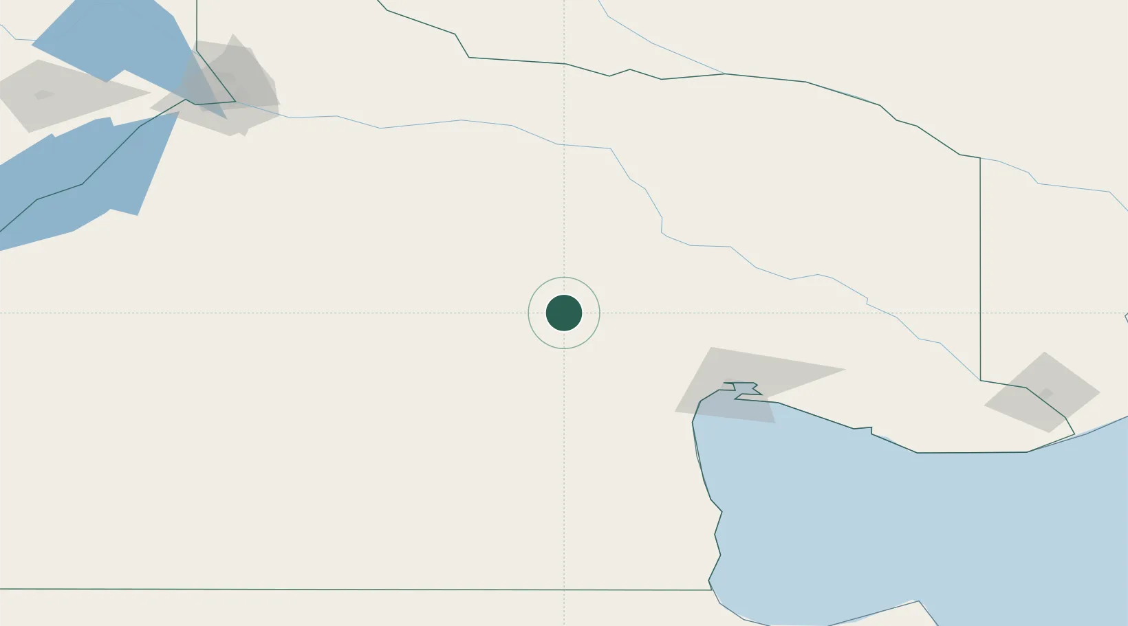
Puerto Madryn
-40.2891°, -65.9718°
64,555
Population
2
Transport functions
1
Container terminals
Transport Functions
Port
Airport
Hub Profile
Place type
Provincial seat
Region
Chubut
Population
64,555
Time zone
America/Argentina/Catamarca
Elevation
11 m
Logistics facilities
4
Container terminals
1
Location
Nearby Logistics Neighbours
Cities
- 1San Antonio Este108 km
- 2Chimpay126 km
- 3Villa Regina163 km
- 4Punta Colorada177 km
- 5General Roca196 km
Ports
- 1San Blas318 km
- 2Puerto Galvan357 km
- 3Puerto Nacional357 km
- 4Puerto Ingeniero White358 km
- 5Bahia Blanca359 km
Airports
- 1Antoine de Saint Exupéry Airport94 km
- 2Presidente Perón International Airport239 km
- 3Gobernador Castello Airport259 km
- 4El Tehuelche Airport284 km
- 5Gan Gan Field315 km
Trade Zones
DatabookThe Record of Consolidated Knowledge
Argentina beyond logistics?