Transport Functions
Rail
Road
Hub Profile
Place type
Provincial seat
Region
Santa Fe
Population
88,713
Time zone
America/Argentina/Cordoba
Elevation
96 m
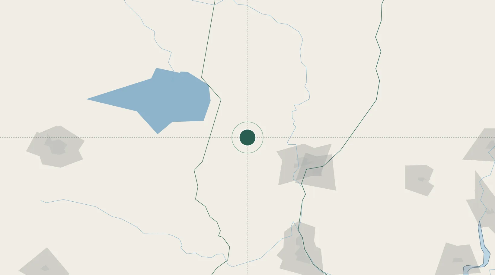
Location
Nearby Logistics Neighbours
Cities
- 1Humboldt42 km
- 2San Francisco58 km
- 3Santa Fe85 km
- 4Canada Rosquin88 km
- 5Paraná104 km
Ports
- 1Santa Fe86 km
- 2Parana103 km
- 3Diamante119 km
- 4Puerto San Martin176 km
- 5San Lorenzo180 km
Airports
Trade Zones
- 1Córdoba Free Trade Zone256 km
- 2Zona Franca UPM367 km
- 3UPM Fray Bentos Free Zone367 km
- 4Nueva Palmira Free Zone409 km
- 5Zona Franca de San Luis449 km
DatabookThe Record of Consolidated Knowledge
Argentina beyond logistics?