Transport Functions
Multimodal
Hub Profile
Place type
Populated place
Region
Santa Fe
Time zone
America/Argentina/Cordoba
Elevation
75 m
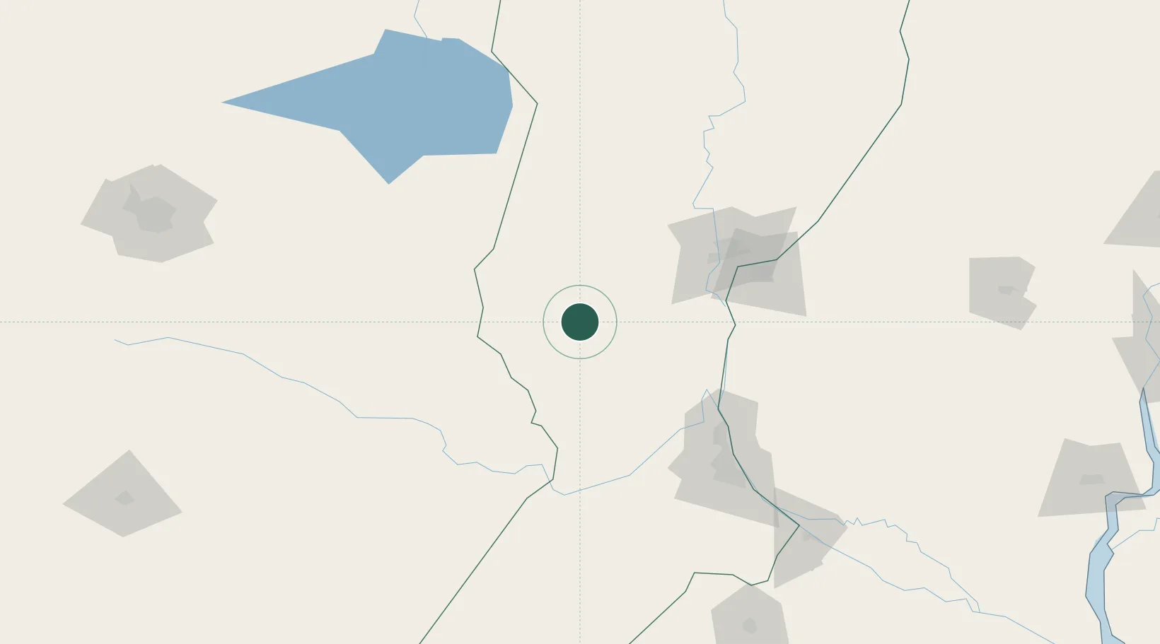
Location
Nearby Logistics Neighbours
Cities
- 1El Trébol19 km
- 2Las Parejas71 km
- 3San Francisco83 km
- 4Humboldt86 km
- 5Rafaela88 km
Ports
- 1Diamante90 km
- 2Santa Fe96 km
- 3Parana107 km
- 4Puerto San Martin110 km
- 5San Lorenzo113 km
Airports
Trade Zones
- 1Córdoba Free Trade Zone258 km
- 2Zona Franca UPM335 km
- 3UPM Fray Bentos Free Zone335 km
- 4Nueva Palmira Free Zone360 km
- 5Justo Daract Free Trade Zone389 km
DatabookThe Record of Consolidated Knowledge
Argentina beyond logistics?