Medium airport · Argentina

Aviador C. Campos AirportSAZY
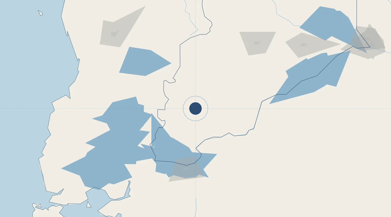
-40.0754°, -71.1373°
8,205 ft
Longest runway
1
Runways
2,569 ft
Elevation

Runway & Layout

Aviador C. Campos Airport runway & taxiway layout
Runway & taxiway layout — OpenStreetMap (ODbL) / OurAirports

Radio Frequencies

TWR
119.6 MHz
CHAPELCO TWR
GND
121.7 MHz
OurAirports

Navaids

CHP VOR-DME San Martin De Los Andes 117.00 MHz
CHP NDB San Martin De Los Andes 265 kHz
OurAirports

Runways · 1

RunwayDimensions SurfaceTrue headingLit
06/24 8,205 × 148ft Asphalt 068°
OurAirports

Airport Specifications

IATA code
CPC
OurAirports
ICAO code
SAZY
OurAirports
Airport class
Medium airport
OurAirports
Scheduled service
Yes
OurAirports
Runway surface
Asphalt
OurAirports
Served city
Chapelco/San Martin de los Andes
OurAirports

Location

Location of SAZY
Natural Earth 10m (public domain) · Neuquén · SAZY · -40.08, -71.14GoogleOSMYandex

Nearby Logistics Neighbours

Airports
  1. 1Pucón Airport110 km
  2. 2Teniente Luis Candelaria International Airport120 km
  3. 3Zapala Airport151 km
  4. 4Pichoy Airport173 km
  5. 5Cañal Bajo Carlos Hott Siebert Airport174 km
Nearest neighbours — logibook spatial index (haversine) over the source coordinates
Cities
  1. 1San Martín de los Andes21 km
  2. 2Mariquina102 km
  3. 3Lago Ranco119 km
  4. 4Villarrica129 km
  5. 5Puyehue142 km
Nearest neighbours — logibook spatial index (haversine) over the source coordinates
Ports
  1. 1Bahia De Valdivia183 km
  2. 2Puerto De Corral197 km
  3. 3Puerto Montt220 km
  4. 4Puerto Quemchi303 km
  5. 5Puerto Castro346 km
Nearest neighbours — logibook spatial index (haversine) over the source coordinates
Trade Zones
  1. 1Zona Franca Zapala (Zapala Free Trade Zone)160 km
  2. 2Comodoro Free Trade Zone Zona Franca Chubut708 km
  3. 3Comodoro Free Trade Zone709 km
  4. 4La Zona Franca Santa Cruz (ZFSC) - Caleta Olivia769 km
  5. 5Zona Franca Bahía Blanca777 km
Nearest neighbours — logibook spatial index (haversine) over the source coordinates
DatabookThe Record of Consolidated Knowledge
Argentina beyond logistics?
Browse databook

All Sources

AirportsOurAirports
Public domain
Portsthe NGA World Port Index
Public domain (US gov)
LocationsUN/LOCODE
UN/LOCODE — free
Trade Zonesthe World Bank SEZ database
CC BY 4.0
Trade ZonesOpen Zone Map
CC BY
InfrastructureOpenStreetMap
ODbL 1.0
← Argentina airports