Transport Functions
Rail
Road
Airport
Hub Profile
Place type
National capital
Region
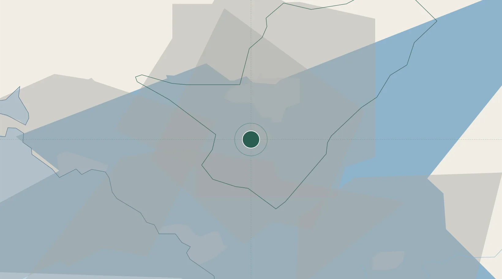
Podgorica
Population
236,852
Time zone
Europe/Podgorica
Elevation
49 m
Logistics facilities
2
Location
Nearby Logistics Neighbours
Airports
Trade Zones
DatabookThe Record of Consolidated Knowledge
Montenegro beyond logistics?