Export Processing Zone · China

Puguang Economic Development Zone Active
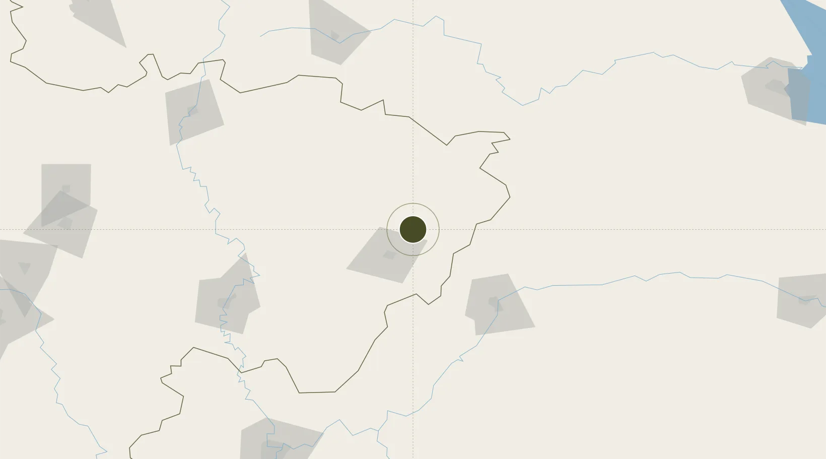
31.4347°, 107.6941°
325 ha
Zone area
635.0 km
Nearest port
42.2 km
Nearest airport

Gateway access

Nearest neighbours — logibook spatial index (haversine) over the source coordinates

Zone profile

Zone type
Export Processing Zone
Open Zone Map
Region
Sichuan
Open Zone Map
Status
Active
Open Zone Map
Management
Public
Open Zone Map
Operator
Puguang Economic Development Zone Management Committee
Open Zone Map
Legal framework
County level economic development zone approved by provincial Development and Reform Commission in August 2008
Open Zone Map

Location

Location of ozm-1099
Natural Earth 10m (public domain) · Sichuan · ozm-1099 · 31.43, 107.69GoogleOSMYandex

Nearby Logistics Neighbours

Ports
  1. 1Hankow635 km
  2. 2Guangzhou1074 km
  3. 3Fang-Cheng1079 km
  4. 4Qinzhou1082 km
  5. 5Huangpu1087 km
Nearest neighbours — logibook spatial index (haversine) over the source coordinates
Airports
  1. 1Dachuan Airport42 km
  2. 2Dazhou Jinya Airport49 km
  3. 3Wanzhou Wuqiao Airport100 km
  4. 4Bazhong Enyang Airport105 km
  5. 5Langzhong Gucheng Airport158 km
Nearest neighbours — logibook spatial index (haversine) over the source coordinates
Cities
  1. 1Fuling192 km
  2. 2Enshi213 km
  3. 3Chongqing228 km
  4. 4Suining229 km
  5. 5Badong260 km
Nearest neighbours — logibook spatial index (haversine) over the source coordinates
Trade Zones
  1. 1Kaijiang Economic Development Zone38 km
  2. 2Pingchang Economic Development Zone53 km
  3. 3Kaizhou Industrial Park80 km
  4. 4Ziyang Selenium Valley Eco-Industrial Park85 km
  5. 5Liangping Industrial Park86 km
Nearest neighbours — logibook spatial index (haversine) over the source coordinates
DatabookThe Record of Consolidated Knowledge
China beyond logistics?
Browse databook

All Sources

Trade ZonesOpen Zone Map
CC BY
Portsthe NGA World Port Index
Public domain (US gov)
AirportsOurAirports
Public domain
LocationsUN/LOCODE
UN/LOCODE — free
← China trade zones