Diversified Zone · China

Danyang Economic Development Zone Active
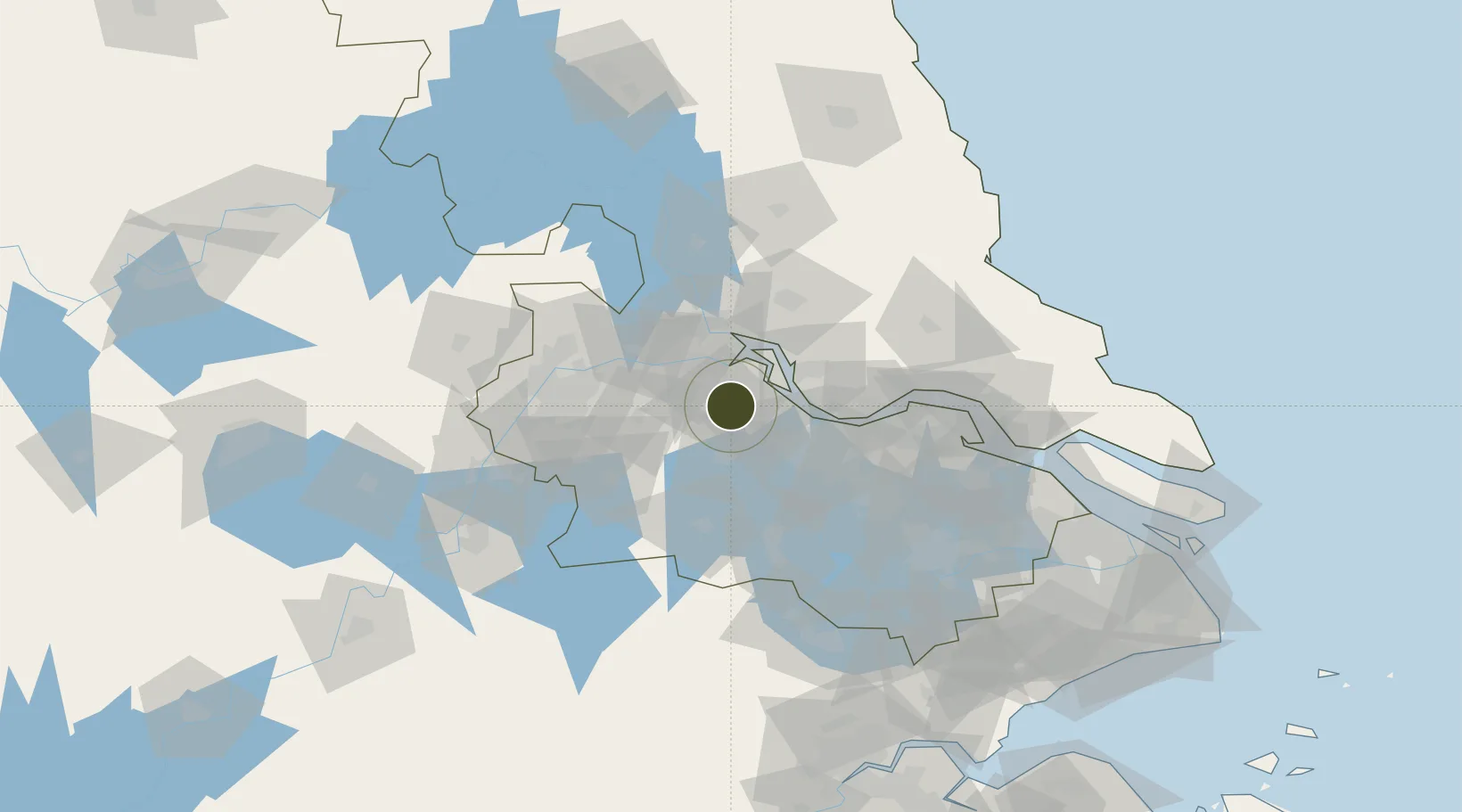
32.0042°, 119.6149°
17,800 ha
Zone area
29.2 km
Nearest port
17.8 km
Nearest airport

Gateway access

Nearest neighbours — logibook spatial index (haversine) over the source coordinates

Zone profile

Zone type
Diversified Zone
Open Zone Map
Region
Jiangsu
Open Zone Map
Status
Active
Open Zone Map
Management
Public
Open Zone Map
Operator
Management Committee of Danyang Economic Development Zone
Open Zone Map
Legal framework
It was established in 1992
Open Zone Map

Location

Location of ozm-1014
Natural Earth 10m (public domain) · Jiangsu · ozm-1014 · 32.00, 119.61GoogleOSMYandex

Nearby Logistics Neighbours

Ports
  1. 1Zhenjiang29 km
  2. 2Yangzhou34 km
  3. 3Changzhou35 km
  4. 4Gaogang38 km
  5. 5Jiangyin59 km
Nearest neighbours — logibook spatial index (haversine) over the source coordinates
Airports
  1. 1Changzhou Benniu International Airport18 km
  2. 2Yangzhou Taizhou Airport63 km
  3. 3Nanjing Lukou International Airport77 km
  4. 4Rugao Air Base88 km
  5. 5Sunan Shuofang International Airport96 km
Nearest neighbours — logibook spatial index (haversine) over the source coordinates
Cities
  1. 1Zhenjiang20 km
  2. 2Yangzhong30 km
  3. 3Yangzhou38 km
  4. 4Changzhou39 km
  5. 5Gaogang40 km
Nearest neighbours — logibook spatial index (haversine) over the source coordinates
Trade Zones
  1. 1Jingkou Industrial Park17 km
  2. 2Zhenjiang Export Processing Zone18 km
  3. 3Jintan Economic Development Zone28 km
  4. 4Zhenjiang Runzhou Industrial Park30 km
  5. 5Yangzhong High-tech Industrial Development Zone32 km
Nearest neighbours — logibook spatial index (haversine) over the source coordinates
DatabookThe Record of Consolidated Knowledge
China beyond logistics?
Browse databook

All Sources

Trade ZonesOpen Zone Map
CC BY
Portsthe NGA World Port Index
Public domain (US gov)
AirportsOurAirports
Public domain
LocationsUN/LOCODE
UN/LOCODE — free
← China trade zones