Transport Functions
Port
Road
Hub Profile
Place type
Populated place
Region
Guangxi
Time zone
Asia/Shanghai
Elevation
246 m
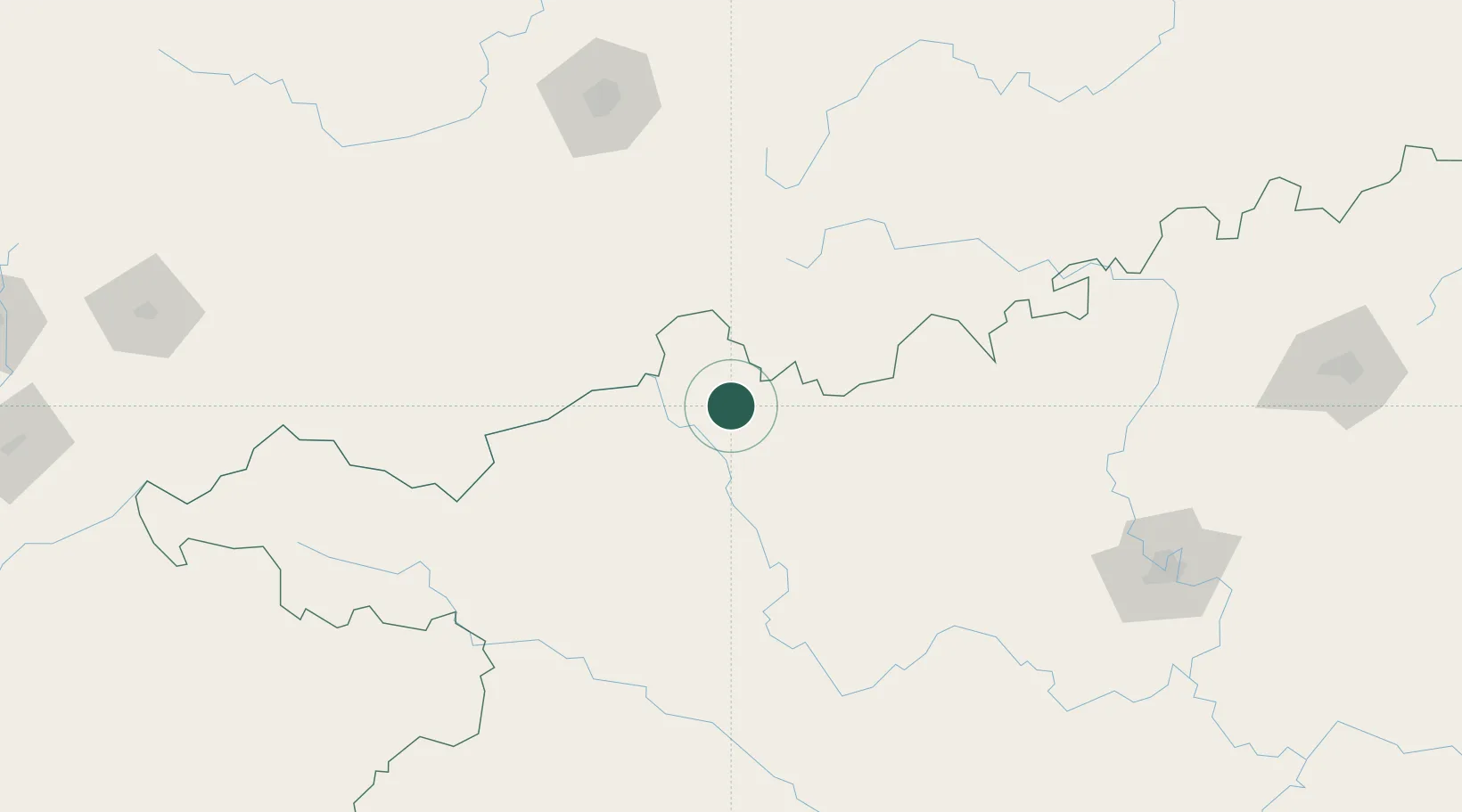
Location
Nearby Logistics Neighbours
Ports
- 1Fang-Cheng387 km
- 2Qinzhou396 km
- 3Beihai439 km
- 4Cam Pha452 km
- 5Hon Gai462 km
Airports
- 1Hechi Jinchengjiang Airport50 km
- 2Libo Airport74 km
- 3Baise (Bose) Bama Airport158 km
- 4Guiyang Longdongbao International Airport169 km
- 5Anshun Huangguoshu Airport195 km
DatabookThe Record of Consolidated Knowledge
China beyond logistics?