Small airport · Russia

Tura Mountain AirportUNIT
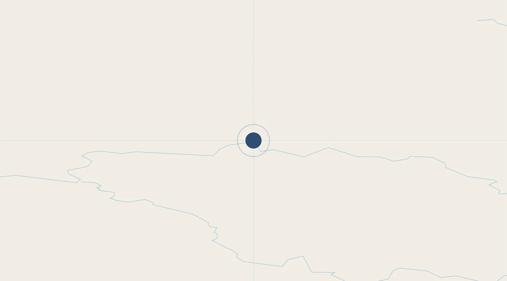
64.3335°, 100.4329°
4,593 ft
Longest runway
1
Runways
2,044 ft
Elevation

Runway & Layout

Tura Mountain Airport runway & taxiway layout
Runway & taxiway layout — OpenStreetMap (ODbL) / OurAirports

Runways · 1

RunwayDimensions SurfaceTrue headingLit
17/35 4,593 × 92ft Concrete
OurAirports

Airport Specifications

IATA code
GOY
OurAirports
ICAO code
UNIT
OurAirports
Airport class
Small airport
OurAirports
Scheduled service
Yes
OurAirports
Runway surface
Concrete
OurAirports
Served city
Tura
OurAirports

Location

Location of UNIT
Natural Earth 10m (public domain) · Krasnoyarsk · UNIT · 64.33, 100.43GoogleOSMYandex

Nearby Logistics Neighbours

Airports
  1. 1Baykit Airport360 km
  2. 2Vanavara Airport453 km
  3. 3Aykhal Airport549 km
  4. 4Severo-Yeniseysk Airport583 km
  5. 5Motygino Airport748 km
Nearest neighbours — logibook spatial index (haversine) over the source coordinates
Cities
  1. 1Vear586 km
  2. 2Rubnoye760 km
  3. 3Kulakovo779 km
  4. 4Streika799 km
  5. 5Kirensk837 km
Nearest neighbours — logibook spatial index (haversine) over the source coordinates
Ports
  1. 1Igarka716 km
  2. 2Dudinka837 km
  3. 3Port Dikson1281 km
  4. 4Jinzhou Wan2941 km
  5. 5Huludao Gang2942 km
Nearest neighbours — logibook spatial index (haversine) over the source coordinates
Trade Zones
  1. 1Tomsk Technology Innovative Special Economic Zone1210 km
  2. 2Baikal Gates Special Economic Zone1441 km
  3. 3Baikal Haven Touristic Zone1453 km
  4. 4Altanbulag Special Economic Zone1600 km
  5. 5Altai Valley Special Economic Zone1633 km
Nearest neighbours — logibook spatial index (haversine) over the source coordinates
DatabookThe Record of Consolidated Knowledge
Russia beyond logistics?
Browse databook

All Sources

AirportsOurAirports
Public domain
Portsthe NGA World Port Index
Public domain (US gov)
LocationsUN/LOCODE
UN/LOCODE — free
Trade Zonesthe World Bank SEZ database
CC BY 4.0
Trade ZonesOpen Zone Map
CC BY
InfrastructureOpenStreetMap
ODbL 1.0
← Russia airports