Medium airport · Colombia
El Alcaravan - Yopal AirportSKYP
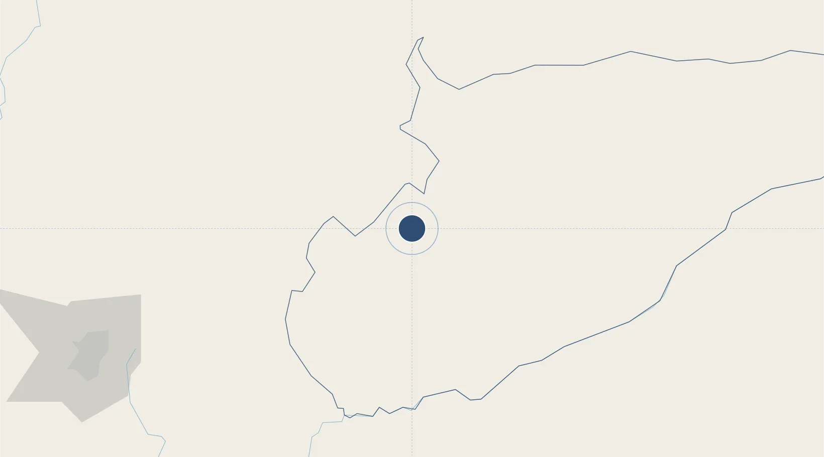
5.3191°, -72.3840°
8,448 ft
Longest runway
1
Runways
1,028 ft
Elevation
Runway & Layout

Radio Frequencies
TWR
118.3 MHz
APP
126.8 MHz
INFO
126.8 MHz
FIS
RDO
655.3 MHz
Navaids
EYP VOR-DME El Yopal 115.60 MHz
Runways · 1
| Runway | Dimensions | Surface | True heading | Lit |
|---|---|---|---|---|
| 05/23 | 8,448 × 98ft | Asphalt | 045° | ✓ |
Airport Specifications
IATA code
EYP
ICAO code
SKYP
Airport class
Medium airport
Scheduled service
Yes
Runway surface
Asphalt
Served city
Yopal
Location
Nearby Logistics Neighbours
Airports
- 1Paz de Ariporo Airport83 km
- 2Tunja Airport109 km
- 3Gustavo Vargas Airport144 km
- 4Vanguardia Airport187 km
- 5Gomez Nino Apiay Air Base190 km
Ports
- 1San Lorenzo517 km
- 2Buenaventura543 km
- 3Turbo570 km
- 4La Salina570 km
- 5Covenas583 km
Trade Zones
- 1EXENNTA Zona Franca Gachancipa166 km
- 2Zona Franca de Tocancipa179 km
- 3Metropolitana Free Trade Zone205 km
- 4Celta Trade Park206 km
- 5Zona Franca INTEXZONA207 km
DatabookThe Record of Consolidated Knowledge
Colombia beyond logistics?