Medium airport · Argentina

Corrientes AirportSARC
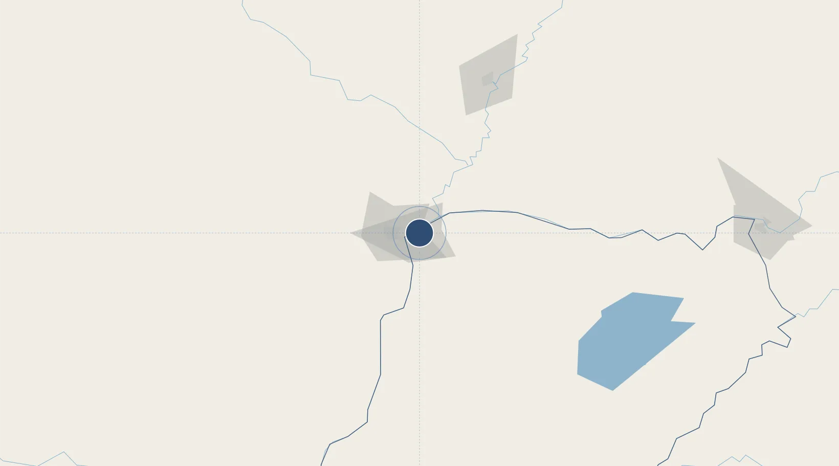
-27.4455°, -58.7619°
6,890 ft
Longest runway
1
Runways
202 ft
Elevation

Runway & Layout

Corrientes Airport runway & taxiway layout
Runway & taxiway layout — OpenStreetMap (ODbL) / OurAirports

Radio Frequencies

TWR
118.3 MHz
OurAirports

Navaids

C NDB Corrientes 305 kHz
CRR VOR-DME Corrientes 115.40 MHz
OurAirports

Runways · 1

RunwayDimensions SurfaceTrue headingLit
2/20 6,890 × 148ft Concrete 008°
OurAirports

Airport Specifications

IATA code
CNQ
OurAirports
ICAO code
SARC
OurAirports
Airport class
Medium airport
OurAirports
Scheduled service
Yes
OurAirports
Runway surface
Concrete
OurAirports
Served city
Corrientes
OurAirports

Location

Location of SARC
Natural Earth 10m (public domain) · Corrientes · SARC · -27.45, -58.76GoogleOSMYandex

Nearby Logistics Neighbours

Airports
  1. 1Resistencia International Airport29 km
  2. 2Aeródromo Don Carlos Miguel Gimenez77 km
  3. 3Formosa National Airport147 km
  4. 4Aeródromo Estancia Don Panos149 km
  5. 5Aeropuerto Nacional Juan de Ayolas188 km
Nearest neighbours — logibook spatial index (haversine) over the source coordinates
Cities
  1. 1Corrientes8 km
  2. 2Barranqueras17 km
  3. 3Bella Vista121 km
  4. 4Puerto Lavalle180 km
  5. 5San Ygnacio181 km
Nearest neighbours — logibook spatial index (haversine) over the source coordinates
Ports
  1. 1Puerto De Asuncion265 km
  2. 2Concordia445 km
  3. 3Santa Fe504 km
  4. 4Parana505 km
  5. 5Colon534 km
Nearest neighbours — logibook spatial index (haversine) over the source coordinates
Trade Zones
  1. 1Zona Franca Global458 km
  2. 2Zona Franca Internacional459 km
  3. 3Zona Franca Puerto Iguazu Free Trade Zone465 km
  4. 4Rivera Free Zone498 km
  5. 5Zona Franca UPM633 km
Nearest neighbours — logibook spatial index (haversine) over the source coordinates
DatabookThe Record of Consolidated Knowledge
Argentina beyond logistics?
Browse databook

All Sources

AirportsOurAirports
Public domain
Portsthe NGA World Port Index
Public domain (US gov)
LocationsUN/LOCODE
UN/LOCODE — free
Trade Zonesthe World Bank SEZ database
CC BY 4.0
Trade ZonesOpen Zone Map
CC BY
InfrastructureOpenStreetMap
ODbL 1.0
← Argentina airports