UN/LOCODE hub · Chile
CLSVE

San Vicente

-36.7276°, -73.1350°
2
Transport functions
1
Container terminals

Transport Functions

Port
Road
San Vicente is also a profiled seaport →
UN/LOCODE

Hub Profile

Place type
Urban district
GeoNames
Region
Biobío
GeoNames
Time zone
America/Santiago
GeoNames
Elevation
15 m
GeoNames
Logistics facilities
2
UN/LOCODE
Container terminals
1
UN/LOCODE

Location

Location of CLSVE
Natural Earth 10m (public domain) · Biobío · CLSVE · -36.73, -73.13GoogleOSMYandex

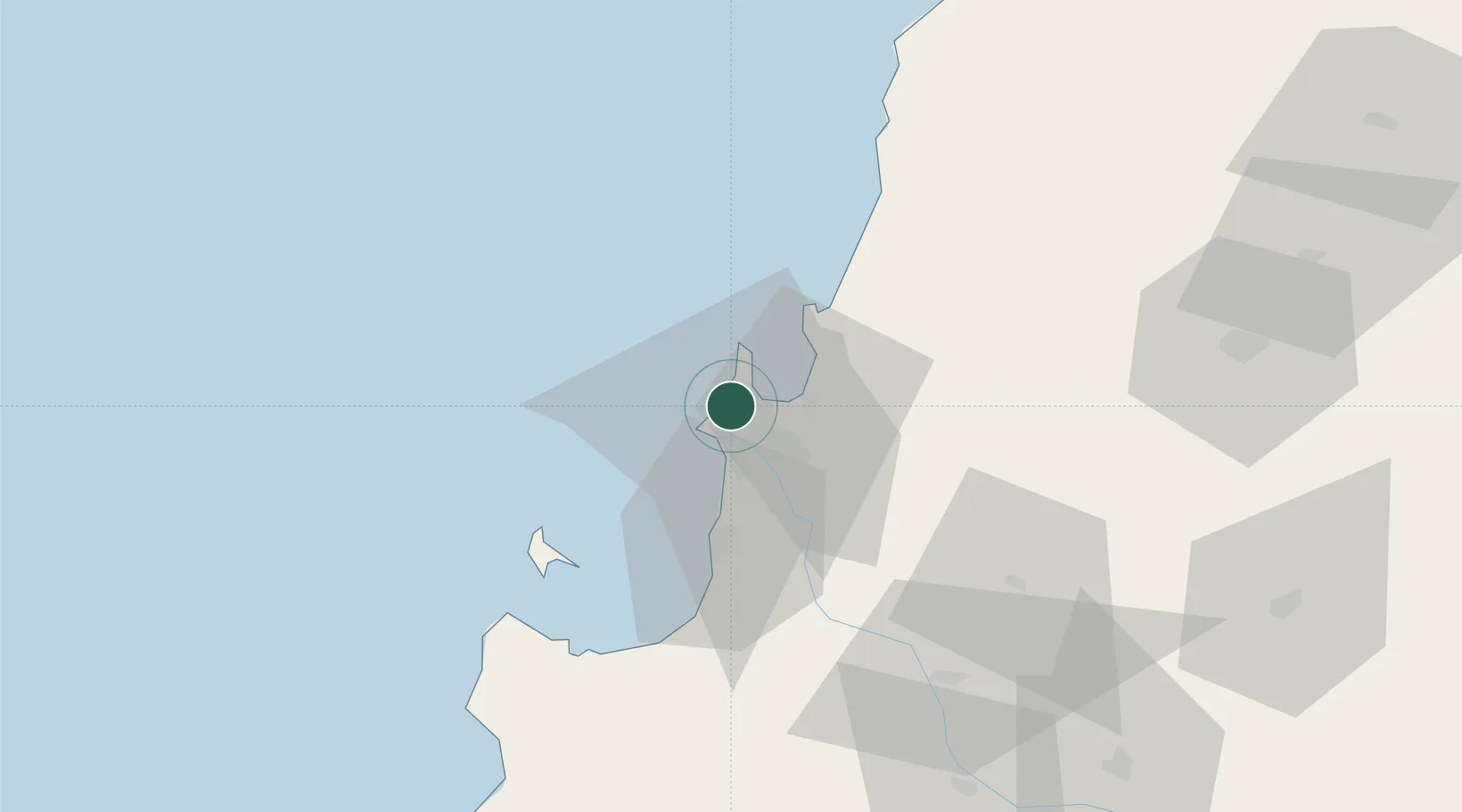
Nearby Logistics Neighbours

Cities
  1. 1Talcahuano2 km
  2. 2Concepción13 km
  3. 3Lirquén14 km
  4. 4Penco14 km
  5. 5Tomé22 km
Nearest neighbours — logibook spatial index (haversine) over the source coordinates
Ports
  1. 1Talcahuano4 km
  2. 2Penco12 km
  3. 3Lirquen14 km
  4. 4Coronel34 km
  5. 5Lota41 km
Nearest neighbours — logibook spatial index (haversine) over the source coordinates
Airports
  1. 1Carriel Sur International Airport8 km
  2. 2Gral. Bernardo O´Higgins Airport100 km
  3. 3Victoria Airport183 km
  4. 4Panguilemo Airport204 km
  5. 5Maquehue Airport231 km
Nearest neighbours — logibook spatial index (haversine) over the source coordinates
Trade Zones
  1. 1Zona Franca Zapala (Zapala Free Trade Zone)357 km
  2. 2Zona Franca Mendoza Free Trade Zone557 km
  3. 3Zona Franca de San Luis790 km
  4. 4Justo Daract Free Trade Zone790 km
  5. 5General Pico Free Zone847 km
Nearest neighbours — logibook spatial index (haversine) over the source coordinates
DatabookThe Record of Consolidated Knowledge
Chile beyond logistics?
Browse databook

All Sources

LocationsUN/LOCODE
UN/LOCODE — free
Portsthe NGA World Port Index
Public domain (US gov)
AirportsOurAirports
Public domain
Trade Zonesthe World Bank SEZ database
CC BY 4.0
Trade ZonesOpen Zone Map
CC BY
← Chile locations